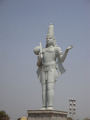
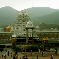
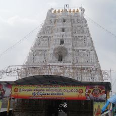
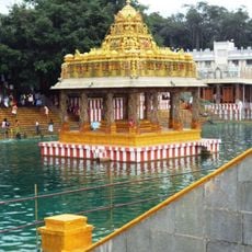
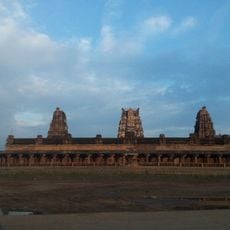
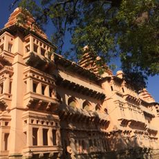
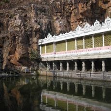
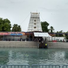
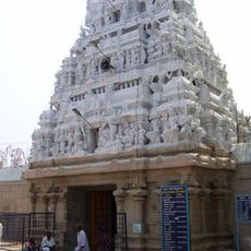
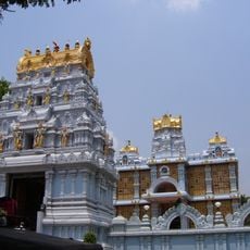
Annamayya district, Administrative district in Andhra Pradesh, India
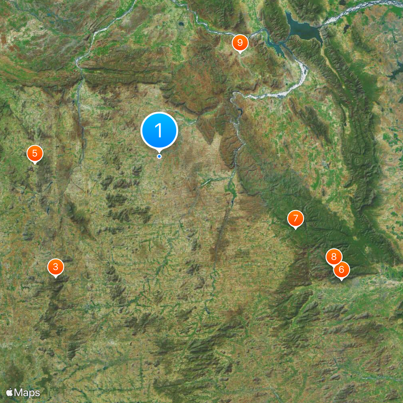
This administrative territory spreads across a wide area in the southeastern part of the country and brings together 30 local divisions, with Rayachoti serving as the main seat. The region links hundreds of villages and smaller settlements through a network of main roads.
The territory was created in April 2022 through a reorganization that brought together parts of two older administrative areas. This restructuring followed a plan to reshape how the state was organized and establish new territorial responsibilities.
Telugu fills conversations in markets and offices across the territory, shaping everyday exchanges and connecting people through a shared way of speaking. Many communities also use Urdu in daily routines, reflecting a blend of linguistic traditions that coexist in public spaces.
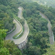
Main highways cross the area and connect most settlements with neighboring regions, making it possible to reach different communities during a visit. Travelers should keep in mind that many settlements are rural in character and spread over large distances.
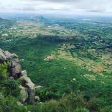
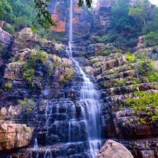
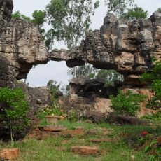
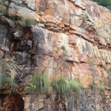
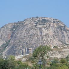
The Palakonda Hills rise sharply from the surrounding land and offer a different view compared to flatter areas further south. The Cheyyeru River meets the larger Penneru at Gundlamada, forming a noticeable point that travelers in the Vontimitta mandal can observe.
Location: Andhra Pradesh
Inception: April 4, 2022
Capital city: Rayachoti
GPS coordinates: 14.05000,78.75000
Latest update: December 4, 2025 23:02
Tirumala Venkateswara Temple
76.4 km
Padmavathi Temple, Tiruchanur
76.4 km
Thimmamma Marrimanu
46 km
Ghat Roads
81.1 km
Talakona
56.9 km
Varahaswamy Temple, Tirumala
76.3 km
Sri Kodandrama Swamy Temple, Vontimitta
48.6 km
Chandragiri Fort
79.5 km
Govindaraja Temple, Tirupati
76.4 km
Sri Venkateswara National Park
71.7 km
Ameenpur Dargah
49.1 km
Kapila Theertham
76.4 km
Mangapuram Venkatesvara Vishnu Temple
79.3 km
Penchalakona
78.4 km
Natural Arch, Tirumala hills
82.8 km
Sri Venkateswara Zoological Park
81.5 km
Venkateswara Temple, Dwaraka Tirumala
76.4 km
Eparchaean Unconformity
76.6 km
Sri Kodandaramaswami Temple
76.4 km
Venugopalaswamy Temple, Karvetinagaram
105.7 km
ISKCON Tirupati
85.9 km
Gurramkonda Fort
35.2 km
Laxminarsimha Swamy temple, Kadiri
64.5 km
Athirala parasurama temple
49.6 km
Annamacharya statue in Tallapaka
47.5 km
Gurramkonda Mahal
35.2 km
Saumyanatha temple
46.6 km
Siddavatam Fort
52.4 kmReviews
Visited this place? Tap the stars to rate it and share your experience / photos with the community! Try now! You can cancel it anytime.
Kalakada mandal
Kambhamvaripalle mandal
Pileru mandal
Gurramkonda mandal
Galiveedu mandal
Ramapuram mandal
Lakkireddipalle mandal
Sambepalle mandal
Chinnamandem mandal
B.Kothakota mandal
Koduru mandal
Madanapalle mandal
Nimmanapalle mandal
Obulavaripalle mandal
Penagalur mandal
Rajampet mandal
Ramasamudram mandal
Thamballapalle mandal
Veeraballe mandal
Valmikipuram mandal
Mulakalacheruvu mandal
Pedda Thippasamudram mandal
Peddamandyam mandal
Pullampeta mandal
Rayachoti mandal
T Sundupalle mandal
Chitvel mandal
Kurabalakota mandal
Kalikiri mandal
Nandalur mandal
Discover hidden gems everywhere you go!
From secret cafés to breathtaking viewpoints, skip the crowded tourist spots and find places that match your style. Our app makes it easy with voice search, smart filtering, route optimization, and insider tips from travelers worldwide. Download now for the complete mobile experience.
A unique approach to discovering new places❞
— Le Figaro
All the places worth exploring❞
— France Info
A tailor-made excursion in just a few clicks❞
— 20 Minutes