Srikakulam district, Administrative district in northeast Andhra Pradesh, India
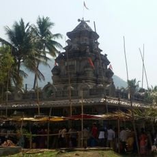
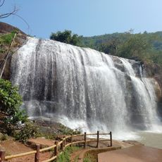
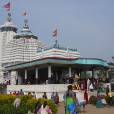
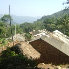
Srikakulam is an administrative district in northeast Andhra Pradesh that stretches along the Bay of Bengal coast. The landscape shifts between river valleys, low hills, open farmland, and villages that reach down to the shore.
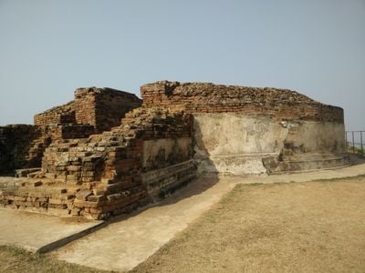
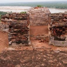
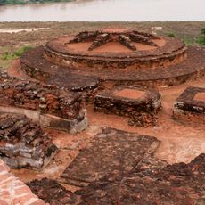
Archaeological finds at Sangamayya Konda and Dannanapeta show traces of Stone Age and Iron Age settlement with megalithic structures. The region served for centuries as a passage between coastal kingdoms and inland highlands.
The district maintains geographic indication status for traditional brassware craftsmanship in Budithi village, where artisans create distinctive metalwork.
Regular bus services connect the district capital with surrounding administrative units, and several railway stations offer links to larger cities. Roads in coastal areas are mostly easy to travel, while the interior may become harder to reach during monsoon season.
The village of Budithi holds protected geographic indication status for its traditional brassware craftsmanship. Local artisans there create objects using centuries-old techniques passed down through generations.
Location: Andhra Pradesh
Capital city: Srikakulam
Shares border with: Rayagada district, Vizianagaram district
GPS coordinates: 18.30000,83.90000
Latest update: December 13, 2025 19:20
Arasavalli
0 m
Arasavalli Sun Temple
0 m
Bhimashankar Jyotirlinga , Bhimpur
95.7 km
Kalingapatnam Beach
23.8 km
Gandahati Waterpark
76.4 km
శ్రీముఖలింగం
33.4 km
Baruva Beach
97.9 km
Jagannath Temple, Gunupur
87.2 km
Sri Venkateswaraswami Temple,Narayana Tirumala
0 m
St. Paul's Church, Gunupur
87.5 km
Gudanggorjang
78.6 km
ଶ୍ରୀ ପାର୍ଥସାରଥୀ ମନ୍ଦିର
107.3 km
Gopinath Temple, Lihuri
68.3 km
Kalingapatnam Lighthouse
23.9 km
Sri Somesvara temple
33.2 km
Srimukhalingeswara Temple
33.4 km
Salihundam Hill Chaitya and stupas
15.6 km
Salihundam Buddhist site
15.8 km
Baruva Lighthouse
97.7 km
Kurmanatha Swamy Temple
11.7 km
Bhima temple
87.5 km
Kunti temple
87.5 km
Yudhisthira temple
87.5 km
Buddhist site, Kalingapatnam
22.5 km
Pedda Cheruvu
8.3 km
Alī Cheruvu
9.9 km
Yebbaji Cheruvu
5.7 km
Kalingapatnam Buddhist site
22.5 kmVisited this place? Tap the stars to rate it and share your experience / photos with the community! Try now! You can cancel it anytime.
Saravakota mandal
Sarubujjili mandal
Santhabommali mandal
Vajrapukothuru mandal
Ranastalam mandal
Meliaputti mandal
Burja mandal
Polaki mandal
Pathapatnam mandal
Nandigam mandal
Jalumuru mandal
Gara mandal
Ganguvarisigadam mandal
Kotabommali mandal
Kaviti mandal
Kanchili mandal
Ponduru mandal
Amadalavalasa mandal
Narasannapeta mandal
Srikakulam mandal
Ichchapuram mandal
Kothuru mandal
Etcherla mandal
Mandasa mandal
Laveru mandal
Hiramandalam mandal
Tekkali mandal
Lakshminarsupeta mandal
Palasa Mandal
Sompeta mandal
Discover hidden gems everywhere you go!
From secret cafés to breathtaking viewpoints, skip the crowded tourist spots and find places that match your style. Our app makes it easy with voice search, smart filtering, route optimization, and insider tips from travelers worldwide. Download now for the complete mobile experience.
A unique approach to discovering new places❞
— Le Figaro
All the places worth exploring❞
— France Info
A tailor-made excursion in just a few clicks❞
— 20 Minutes