Enable Location

We need your location to show you interesting places around you

Discover nearby places

Find interesting locations and hidden gems around you

Precise directions

Get accurate directions and distances to places

Your location is never shared with other users. It's only used when you tap the location button.

Palnadu district

Log in to your account

Start exploring — it's free

Trusted by 61,876 travelers worldwide

Continue with Google
Continue with Apple
or

We will send you a code to connect

By continuing, you accept our Terms and Conditions and our Privacy Policy

Check your inbox

We've sent a pincode in your inbox. Please enter the code below.

Palnadu district

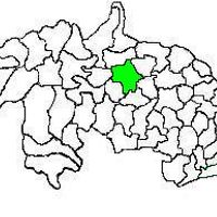
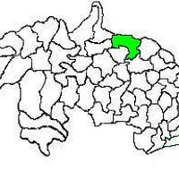
Palnadu district, Administrative district in Andhra Pradesh, India

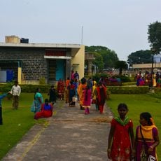
Palnadu is an administrative territory in Andhra Pradesh made up of three subdivisions containing twenty-eight local units. The entire area is managed from Narasaraopet, a town positioned centrally between farmland plains and smaller settlements.

The area was carved out as a separate unit in April 2022 during a statewide reorganization. Before that, it belonged to larger administrative divisions within Andhra Pradesh.

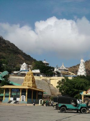
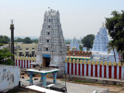
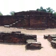
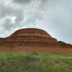
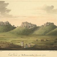
The name comes from the 12th-century Palnadu wars, which remain alive in regional memory. Rural communities still share stories about the conflicts between rival kingdoms.

Narasaraopet serves as the main access point for public services and has road connections to surrounding towns. Those exploring the region will find separate administrative offices in each of the three subdivisions with local contacts.

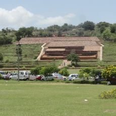
Cement plants dot the landscape along main roads, where limestone deposits drive industrial development. Trucks carry raw materials and finished products daily between quarries and production sites.

The community of curious travelers

AroundUs brings together thousands of curated places, local tips, and hidden gems, enriched daily by 60,000 contributors worldwide.

Start exploring
Location
Inception
April 4, 2022
Capital city
Narasaraopet
Shares border with
NTR district, Guntur district, Bapatla district, Prakasam district, Suryapet district, Nalgonda district, Nagarkurnool district
GPS coordinates
16.20000,80.00000
Latest update
December 13, 2025 18:28
« Palnadu district - Administrative district in Andhra Pradesh, India » is provided by Around Us (aroundus.com). Images and texts are derived from Wikimedia project under a Creative Commons license. You are allowed to copy, distribute, and modify copies of this page, under the conditions set by the license, as long as this note is clearly visible.

Discover hidden gems everywhere you go!

From secret cafés to breathtaking viewpoints, skip the crowded tourist spots and find places that match your style. Our app makes it easy with voice search, smart filtering, route optimization, and insider tips from travelers worldwide. Download now for the complete mobile experience.

Around Us App Screenshot

A unique approach to discovering new places

Le Figaro

All the places worth exploring

France Info

A tailor-made excursion in just a few clicks

20 Minutes

Around Us
Travel Guide & Maps
Download

Send to your phone

QR Code
1

Open the camera app on your mobile.

2

Point at the QR code with your camera. A notification will appear.

3

Tap the notification to open the link.