Macharla mandal, Administrative division in Palnadu district, India
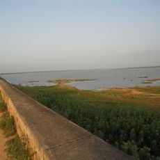
Macharla mandal is an administrative division in Palnadu district that encompasses one town and thirteen villages across numerous settlements. The area is characterized by varied terrain and geographic features that support rural communities.
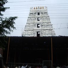
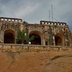
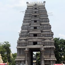
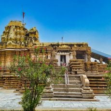
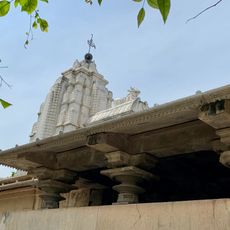
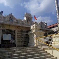
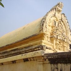
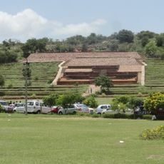
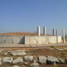
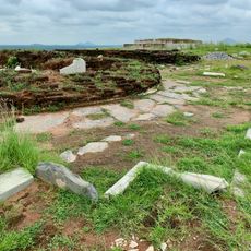
The region developed as a center of religious activity during the Haihaya Kings period, when temples like Chennakesava Swamy were established. The modern mandal administrative system replaced the earlier larger territorial divisions in 1985.
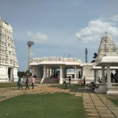
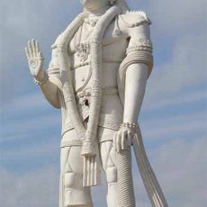
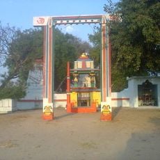
The Chennakesava Swamy temple serves as a central place for worship and community gathering, especially during the annual Tirunalla festival. Local people come together for celebrations tied to the temple's traditions.
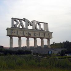
Local administrative offices are located in central areas where visitors can conduct official business or inquire about local matters. It helps to start with the main town to understand the layout before exploring the surrounding villages.
This administrative area touches borders with three neighboring mandals and also shares a boundary with Telangana state across its edge. This location makes it a meeting point between different administrative regions.
Location: Palnadu district
Capital city: Macharla
Elevation above the sea: 145 m
GPS coordinates: 16.47600,79.43600
Latest update: December 11, 2025 18:11
Ramoji Film City
118.1 km
Mallikarjuna Temple
75.4 km
Maha Stupa at Amaravati
98.9 km
Nagarjunakonda
21.6 km
Bhongir Fort
66.6 km
Sanghi Temple
119.6 km
Veera Abhaya Anjaneya Hanuman Swami
107.1 km
Kotappakonda
73.8 km
Kondaveedu Fort
91.8 km
Chaya Someswara Swamy temple
68.6 km
Kondapalli Fort
118 km
Ethipothala Falls
7.5 km
Mallela Theertham
66.2 km
Dhyana Buddha statue
98.5 km
Amararama
99.2 km
Dindi Reservoir
80.6 km
Erakeswara Temple, Pillalamarri
78.8 km
Chandavaram Buddhist site
60.5 km
Amaravati Archaeological Museum
99 km
Nameswara Temple, Pillalamarri
78.8 km
Annamayya Library
109.3 km
Sri Ramalingeshwara Temple
109.9 km
Kapoteswara temple
47.6 km
Reconstructed monuments at Anpu and Nagarjunakonda hilltop
17.3 km
Stupa at Jaggaiahpet
84.9 km
Kotta palem
104 km
Buddhist mounds with remains at Grandhasiri
77.2 km
Phanigiri site
106.1 kmVisited this place? Tap the stars to rate it and share your experience / photos with the community! Try now! You can cancel it anytime.
Discover hidden gems everywhere you go!
From secret cafés to breathtaking viewpoints, skip the crowded tourist spots and find places that match your style. Our app makes it easy with voice search, smart filtering, route optimization, and insider tips from travelers worldwide. Download now for the complete mobile experience.
A unique approach to discovering new places❞
— Le Figaro
All the places worth exploring❞
— France Info
A tailor-made excursion in just a few clicks❞
— 20 Minutes