Enable Location

We need your location to show you interesting places around you

Discover nearby places

Find interesting locations and hidden gems around you

Precise directions

Get accurate directions and distances to places

Your location is never shared with other users. It's only used when you tap the location button.

Amaravathi mandal

Log in to your account

Start exploring — it's free

Trusted by 61,867 travelers worldwide

Continue with Google
Continue with Apple
or

We will send you a code to connect

By continuing, you accept our Terms and Conditions and our Privacy Policy

Check your inbox

We've sent a pincode in your inbox. Please enter the code below.

Amaravathi mandal

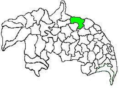
Amaravathi mandal, Administrative subdivision in Palnadu district, India.

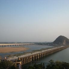
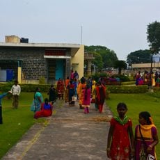
Amaravathi mandal is an administrative unit in Palnadu district that extends along the Krishna River and encompasses seventeen villages. The area spreads across the valley with scattered settlements, agricultural fields, and a network of roads connecting different village centers.

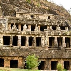
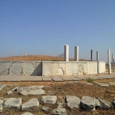
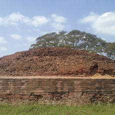
The administrative unit was established in 2022 when Palnadu district separated from Guntur district. The area contains archaeological remains that show human settlement dating back to ancient periods.

The region maintains traditional Panchayati raj governance through village councils, integrating local decision-making processes with district administration.

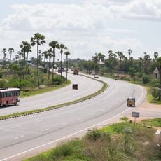
The mandal headquarters is located in Amaravathi village with basic facilities like schools, health centers, and government offices spread across the area. Visitors can move around using local bus services that connect to nearby larger towns.

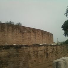
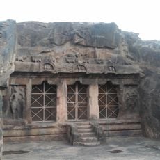
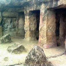
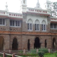
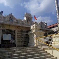
The area contains Dharanikota, an ancient settlement with archaeological importance from classical times. This site is frequently overlooked despite offering evidence of early urban development in the region.

The community of curious travelers

AroundUs brings together thousands of curated places, local tips, and hidden gems, enriched daily by 60,000 contributors worldwide.

Start exploring
Location
Capital city
Amaravathi
GPS coordinates
16.57280,80.35750
Latest update
December 12, 2025 09:00
« Amaravathi mandal - Administrative subdivision in Palnadu district, India » is provided by Around Us (aroundus.com). Images and texts are derived from Wikimedia project under a Creative Commons license. You are allowed to copy, distribute, and modify copies of this page, under the conditions set by the license, as long as this note is clearly visible.

Discover hidden gems everywhere you go!

From secret cafés to breathtaking viewpoints, skip the crowded tourist spots and find places that match your style. Our app makes it easy with voice search, smart filtering, route optimization, and insider tips from travelers worldwide. Download now for the complete mobile experience.

Around Us App Screenshot

A unique approach to discovering new places

Le Figaro

All the places worth exploring

France Info

A tailor-made excursion in just a few clicks

20 Minutes

Around Us
Travel Guide & Maps
Download

Send to your phone

QR Code
1

Open the camera app on your mobile.

2

Point at the QR code with your camera. A notification will appear.

3

Tap the notification to open the link.