Visakhapatnam district

Log in to your account

AroundUs is a community-driven map of interesting places, built by curious explorers like you. It grows with every review, story, and photo you share.
Connect to save your favorite spots, contribute locations, and create personalized routes.
By continuing, you accept our Terms and Conditions and our Privacy Policy
Add to collection
Map
Suggest a change
Share

Visakhapatnam district, Administrative district in Andhra Pradesh, India

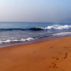
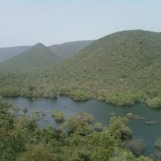
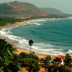
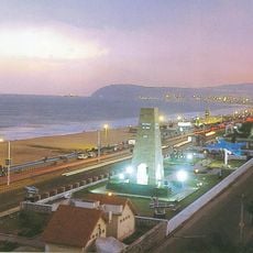
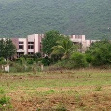
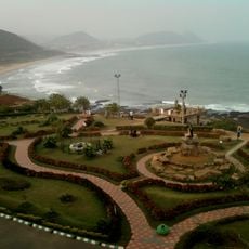
This district stretches along the coast of the Bay of Bengal and includes a mix of urban areas, rural villages and fishing settlements. The landscape ranges from sandy beaches and low hills to rice fields and palm groves inland.

Local rulers controlled the region for centuries until it became a formal administrative district under British rule in the 19th century. After independence the area changed states several times and now belongs to Andhra Pradesh.

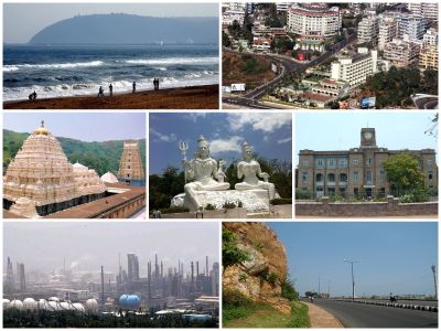
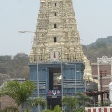
The name comes from a small village that grew into a major trading center and now holds the largest city on the Andhra Pradesh coast. Fishers leave from small harbors in the morning and bring their catch to markets, while rural areas grow rice and cashews.

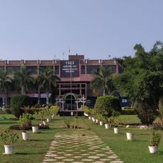
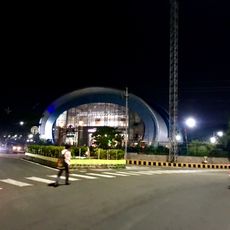
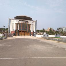
The capital city offers government services, hospitals and educational facilities spread across several neighborhoods. Public transport connects the coastal areas with the rural parts, and roads get busy during the day.

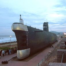
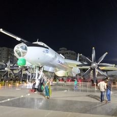
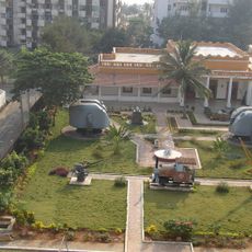
The navy and the port shape life on the water, where large ships anchor beside traditional fishing boats. In some coastal stretches you can see shipyards standing next to old temples and fishing villages.

Location: Andhra Pradesh

Inception: 1802

Capital city: Visakhapatnam

Shares border with: Malkangiri district, Vizianagaram district, Anakapalli district

Website: https://gvmc.gov.in/wss

GPS coordinates: 17.68838,83.21876

Latest update: December 4, 2025 23:43

Reviews

Visited this place? Tap the stars to rate it and share your experience / photos with the community! Try now! You can cancel it anytime.

« Visakhapatnam district - Administrative district in Andhra Pradesh, India » is provided by Around Us (aroundus.com). Images and texts are derived from Wikimedia project under a Creative Commons license. You are allowed to copy, distribute, and modify copies of this page, under the conditions set by the license, as long as this note is clearly visible.

Discover hidden gems everywhere you go!

From secret cafés to breathtaking viewpoints, skip the crowded tourist spots and find places that match your style. Our app makes it easy with voice search, smart filtering, route optimization, and insider tips from travelers worldwide. Download now for the complete mobile experience.

Around Us App Screenshot

A unique approach to discovering new places

Le Figaro

All the places worth exploring

France Info

A tailor-made excursion in just a few clicks

20 Minutes