West Godavari district, Administrative district in Andhra Pradesh, India.
West Godavari is an administrative district in the southern Indian state of Andhra Pradesh, covering an area of approximately 2,560 square kilometers (990 square miles) across the western side of the Godavari delta. The district is divided into 46 smaller administrative units spread across a region where fertile plains and waterways shape the landscape.
The area emerged during British colonial rule as part of the Madras Presidency and underwent several territorial adjustments until it took its current form within Andhra Pradesh. After Indian independence, the administrative structure was further refined and the district became part of a larger regional system.
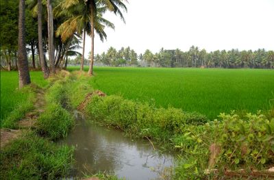
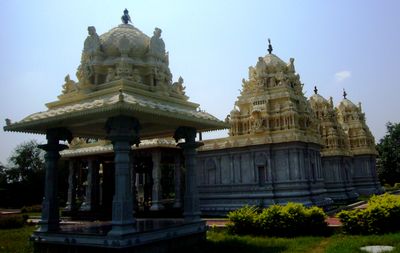
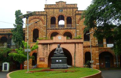
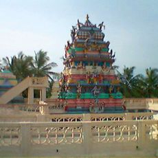
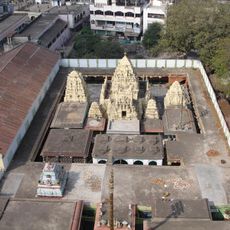
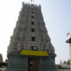
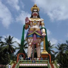
The name comes from the Godavari River, which flows through the area and marks the western half of what was once a larger administrative unit. Visitors today experience a landscape shaped by agriculture, with temples and villages where locals follow daily routines and seasonal festivals tied to the farming calendar.
Travelers find a rural region where daily life follows the rhythm of fieldwork and the management of water channels. Most public facilities and smaller towns are located along the main roads that run north to south through the area.
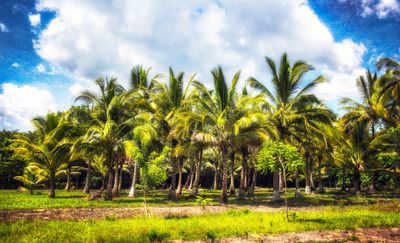
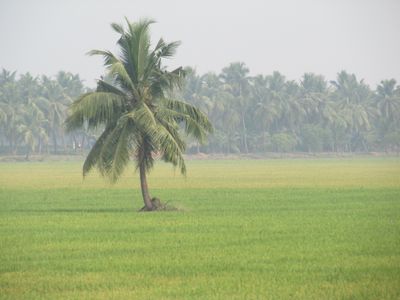
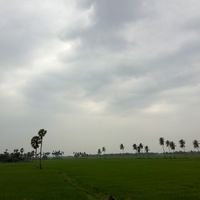
The district is one of India's main rice-growing regions and contributes a large share to the country's overall production through its fertile soils. Travelers often notice the dense succession of fields stretching to the horizon, turning the landscape into various shades of green during planting and harvest seasons.
The community of curious travelers
AroundUs brings together thousands of curated places, local tips, and hidden gems, enriched daily by 60,000 contributors worldwide.