Akividu mandal, Administrative division in West Godavari district, India
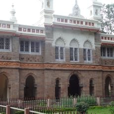
Akividu mandal is an administrative division in Andhra Pradesh that comprises several villages spread across a rural landscape. The town of Akividu serves as the administrative center and manages local government functions for the surrounding settlements.
The area was established as an administrative division during India's modern governance reorganization and became part of the West Godavari district in Andhra Pradesh. Its development reflects the agricultural and administrative patterns that shaped the broader region.
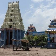
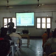
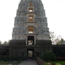
Telugu is the main language spoken by residents, and local traditions are woven into the agricultural way of life that defines the region. Schools and community centers serve as social gathering places where daily life unfolds across the different villages.
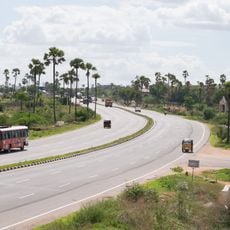
The location is best reached by car, as connections between villages use rural roads. Hotels and services are mainly available in the town of Akividu, so arrange your accommodation there for the best access to amenities.
The area contains settlements of very different sizes, from tiny hamlets with only a few hundred residents to larger towns with several thousand inhabitants. This variety in settlement structure makes the region interesting for visitors interested in exploring rural Indian communities in their different forms.
The community of curious travelers
AroundUs brings together thousands of curated places, local tips, and hidden gems, enriched daily by 60,000 contributors worldwide.