Enable Location

We need your location to show you interesting places around you

Discover nearby places

Find interesting locations and hidden gems around you

Precise directions

Get accurate directions and distances to places

Your location is never shared with other users. It's only used when you tap the location button.

Nizamabad district

Log in to your account

Start exploring — it's free

Trusted by 61,464 travelers worldwide

Continue with Google
Continue with Apple
or

We will send you a code to connect

By continuing, you accept our Terms and Conditions and our Privacy Policy

Check your inbox

We've sent a pincode in your inbox. Please enter the code below.

Nizamabad district

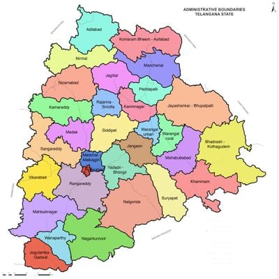
Nizamabad district, Administrative district in Telangana, India

Description

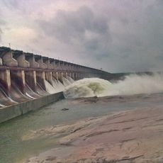
Nizamabad district is an administrative region in Telangana featuring varied terrain with farmland, towns, and natural areas spread across the landscape. The land sits at approximately 395 meters in elevation and blends rural and urban spaces throughout.

History

The region was established in 1905 during British colonial administration. It remained part of Andhra Pradesh until 2014, when it became part of the newly created state of Telangana.

Culture

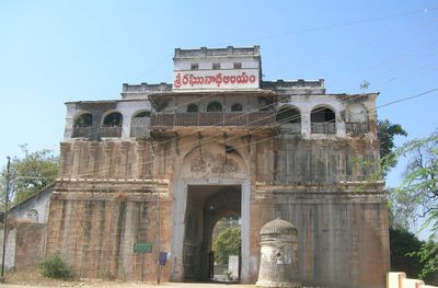
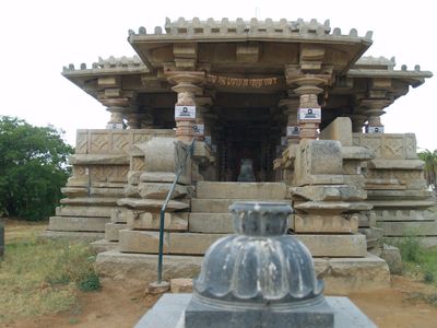
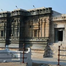
Hindu temples and Muslim mosques stand side by side across the landscape, reflecting how different faith communities shape daily life here. You can see how these traditions influence local practices and the way people use public spaces.

Practical

The region is well connected to larger cities through railways and highways, making travel between areas straightforward. Nizamabad city serves as the main hub and offers the most facilities and services for visitors.

Did you know?

Rice, millet, and cotton farming dominate the economy throughout the year, shaping both the landscape and local livelihoods. These crops are visible across fields and influence the rhythm of work in the district.

Location
Inception
1905
Capital city
Nizamabad
Elevation above the sea
395 m
Shares border with
Nanded district, Karimnagar district
GPS coordinates
18.68333,78.10000
Latest update
December 14, 2025 20:23

AroundUs brings together thousands of curated places, local tips, and hidden gems, enriched daily by 60,000 contributors worldwide. Discover all places nearby (Telangana).

« Nizamabad district - Administrative district in Telangana, India » is provided by Around Us (aroundus.com). Images and texts are derived from Wikimedia project under a Creative Commons license. You are allowed to copy, distribute, and modify copies of this page, under the conditions set by the license, as long as this note is clearly visible.

Discover hidden gems everywhere you go!

From secret cafés to breathtaking viewpoints, skip the crowded tourist spots and find places that match your style. Our app makes it easy with voice search, smart filtering, route optimization, and insider tips from travelers worldwide. Download now for the complete mobile experience.

Around Us App Screenshot

A unique approach to discovering new places

Le Figaro

All the places worth exploring

France Info

A tailor-made excursion in just a few clicks

20 Minutes

Around Us
Travel Guide & Maps
Download

Send to your phone

QR Code
1

Open the camera app on your mobile.

2

Point at the QR code with your camera. A notification will appear.

3

Tap the notification to open the link.