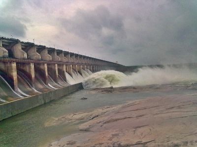
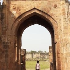
Sriram Sagar Project, Hydroelectric dam on Godavari River in Nizamabad, India.
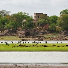
The Sriram Sagar Project is a dam built across the Godavari River, with a wall about 43 meters high that creates a large reservoir for storing water. The water is used both to generate electricity and to irrigate farmland across several districts in the region.
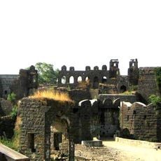
Construction of this project began in the 1960s and took about a decade to complete, marking a major shift in how water was managed in the region. It was designed to address water shortages in drought-prone areas and provide reliable irrigation.
The dam provides water to rural communities and cities, allowing farmers to grow crops throughout the year instead of depending on seasonal rains. This connection between engineering and daily life shapes how people in the region use the Godavari River today.
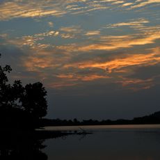
You can walk along or near the dam to see the structure and get views of the water and surrounding countryside. The site is best visited after the rainy season when the water level is higher and the landscape is greener.
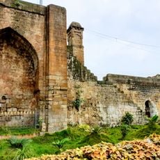
Beyond irrigation, this project manages flood control through a network of canals that carry water across multiple districts. One of these canals, originally built centuries ago under a different name, still functions today to serve both agriculture and urban water needs.
The community of curious travelers
AroundUs brings together thousands of curated places, local tips, and hidden gems, enriched daily by 60,000 contributors worldwide.