Kokrajhar district, Administrative district in Lower Assam division, India
Kokrajhar is an administrative district spanning about 3,169 square kilometers along the northern bank of the Brahmaputra River, with borders touching Bhutan and West Bengal. The district is organized into five revenue circles and three subdivisions, with the town of Kokrajhar serving as its main administrative hub.
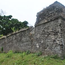
The territory remained under Bhutanese rule until 1865, when British forces took control following the Duar Wars and incorporated it into Goalpara district. This shift ended the region's independent political status and began a new administrative era.
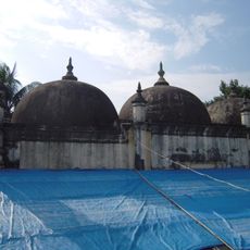
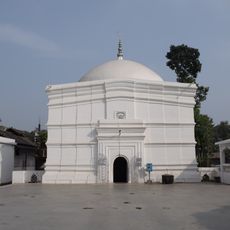
Kokrajhar serves as a hub for Bodo language and cultural practices, where you'll find Rajbongshi, Santhal, and other communities living side by side. The district's markets, celebrations, and daily rhythms show how these different groups share the same space and traditions.
The administrative center in Kokrajhar town handles official services and can be reached via National Highway 31, which provides good access to the region. The district is spread across three main subdivisions, so planning your route helps when moving between different areas.
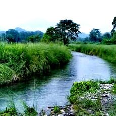
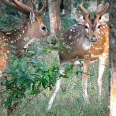
Portions of Manas National Park lie within the district and connect to Bhutan through the border town near Gelephu along National Highway 31. This transboundary conservation area is one of few places where protected wildlife reserves span across two countries in this region.
The community of curious travelers
AroundUs brings together thousands of curated places, local tips, and hidden gems, enriched daily by 60,000 contributors worldwide.