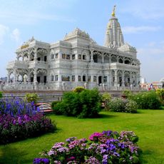
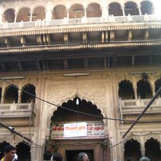
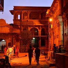
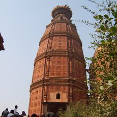
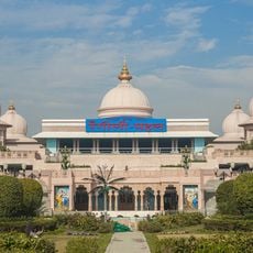
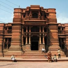
Aligarh district, Administrative district in Uttar Pradesh, India
Aligarh district is an administrative area in Uttar Pradesh that encompasses several smaller administrative blocks spread across the region. It is bordered by multiple surrounding districts and serves as a significant settlement area in northern India.
The district was formed from colonial-era administrative structures and took its present form following India's independence in 1947. The region has experienced several modifications to its administrative boundaries throughout history.
The district population reflects diverse social structures with Hindi speakers comprising 92.54 percent, followed by Urdu and Braj Bhasha speaking communities.
The district headquarters at Aligarh city has road and rail links to major cities in northern India, making travel relatively straightforward. Visitors can expect reasonable transportation options when moving around the region.
Aligarh Muslim University within the district provides over 250 educational programs to 30,000 students, establishing the region as an educational center.
Location: Aligarh division
Capital city: Aligarh
Shares border with: Bulandshahr district
Address: Aligarh, Uttar Pradesh, India
Website: http://aligarh.nic.in
GPS coordinates: 27.83333,78.16667
Latest update: December 20, 2025 13:36
Prem Mandir
56.7 km
Banke Bihari Temple
54.8 km
Vrindavan Chandrodaya Mandir
56.7 km
ISKCON Temple, Vrindavan
56.3 km
Radha Vallabh Temple
54.6 kmNidhivan, Vrindavan
54 km
Madan Mohan Temple
55 kmRadha Ramana
54.1 kmRadha Damodar Temple, Vrindavan
54.1 kmAligarh Fort
15.1 km
Rangeeli Mahal Barsana
56.7 kmХрам Радхи-Дамодары во Вриндаване
56.3 kmShri Alkheswar Mahadev Mandir
39.2 kmХрам Радхаваллабхи во Вриндаване
54.1 kmДжайпурский храм во Вриндаване
53.8 km
Govind Dev Temple
53.9 kmMonument near Kilah railway station
28.6 kmRemains of an old Hindu temple inside the Dayaram's fort
28.7 kmMonument of Major Robert Naim
33.9 kmTemple of Jugal Kishore
53.7 kmMonument in the memory of Samuel Anderson Nichterlein
16.8 kmKos Minar
67.7 kmKos Minar, Mile 11, Furlong 5 (west of Chamah village)
62.5 kmAkbari Sarai
66.2 kmKos Minar, Mile 19 Furlong 1
66.3 kmKos Minar, opposite to mile 13, Furlong 1 from road
64.2 kmKos Minar, Mile 116, 400 yards from road
65.7 kmMound known as Gohana Khera
16.1 kmVisited this place? Tap the stars to rate it and share your experience / photos with the community! Try now! You can cancel it anytime.
Discover hidden gems everywhere you go!
From secret cafés to breathtaking viewpoints, skip the crowded tourist spots and find places that match your style. Our app makes it easy with voice search, smart filtering, route optimization, and insider tips from travelers worldwide. Download now for the complete mobile experience.
A unique approach to discovering new places❞
— Le Figaro
All the places worth exploring❞
— France Info
A tailor-made excursion in just a few clicks❞
— 20 Minutes