·

Enable Location

We need your location to show you interesting places around you

Discover nearby places

Find interesting locations and hidden gems around you

Precise directions

Get accurate directions and distances to places

Your location is never shared with other users. It's only used when you tap the location button.

Lahaul and Spiti district

Log in to your account

Start exploring — it's free

Trusted by 62,701 travelers worldwide

Continue with Google
Continue with Apple
or

We will send you a code to connect

By continuing, you accept our Terms and Conditions and our Privacy Policy

Check your inbox

We've sent a pincode in your inbox. Please enter the code below.

Lahaul and Spiti district

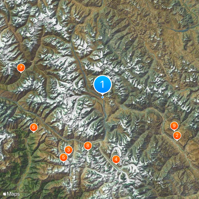
Lahaul and Spiti district, Administrative district in Himachal Pradesh, India

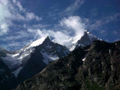
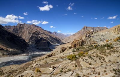
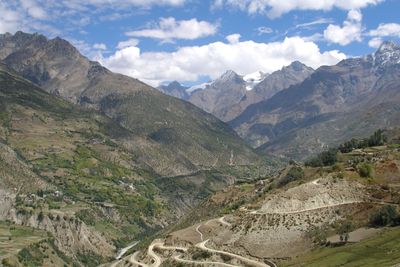
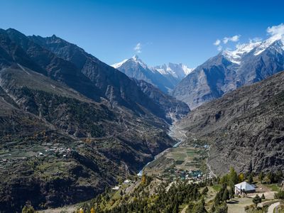
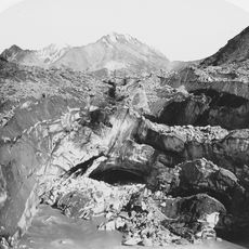
Lahaul and Spiti is an administrative region in Himachal Pradesh, India, that covers wide valleys, mountain villages, and river courses across the western Himalayas. The landscape sits mostly above around 3,050 meters (10,000 feet) and connects two separate valley regions through mountain passes.

The two valleys of Lahaul and Spiti were joined into one administrative territory in 1960, with Keylong chosen as the headquarters of the new district. This merger followed earlier administrative periods under different local rulers and British colonial control.

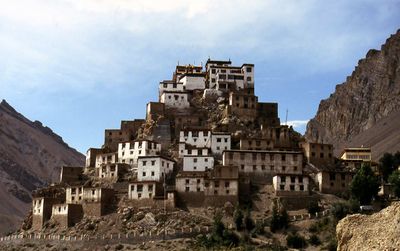
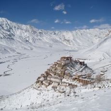
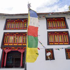
The district demonstrates a fusion of Buddhist and Hindu traditions through its monasteries, festivals, and local practices, with Bhoti language prevalent among inhabitants.

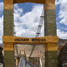
Roads are usually open from June to October when the Rohtang Pass from Manali becomes passable. In winter, snow and extreme cold make most routes impassable, leaving many settlements isolated from the outside for months.

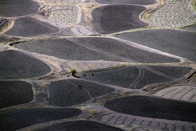
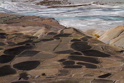
The district maintains one of India's lowest population densities with only 2 inhabitants per square kilometer, preserving its natural mountain desert environment.

The community of curious travelers

AroundUs brings together thousands of curated places, local tips, and hidden gems, enriched daily by 60,000 contributors worldwide.

Start exploring
Location
Inception
1960
Capital city
Kyelang
Shares border with
Kargil district
GPS coordinates
32.50000,77.60000
Latest update
December 13, 2025 16:28
« Lahaul and Spiti district - Administrative district in Himachal Pradesh, India » is provided by Around Us (aroundus.com). Images and texts are derived from Wikimedia project under a Creative Commons license. You are allowed to copy, distribute, and modify copies of this page, under the conditions set by the license, as long as this note is clearly visible.

Discover hidden gems everywhere you go!

From secret cafés to breathtaking viewpoints, skip the crowded tourist spots and find places that match your style. Our app makes it easy with voice search, smart filtering, route optimization, and insider tips from travelers worldwide. Download now for the complete mobile experience.

Around Us App Screenshot

A unique approach to discovering new places

Le Figaro

All the places worth exploring

France Info

A tailor-made excursion in just a few clicks

20 Minutes

Around Us
Travel Guide & Maps
Download

Send to your phone

QR Code
1

Open the camera app on your mobile.

2

Point at the QR code with your camera. A notification will appear.

3

Tap the notification to open the link.