Enable Location

We need your location to show you interesting places around you

Discover nearby places

Find interesting locations and hidden gems around you

Precise directions

Get accurate directions and distances to places

Your location is never shared with other users. It's only used when you tap the location button.

Bastar district

Log in to your account

Start exploring — it's free

Trusted by 62,472 travelers worldwide

Continue with Google
Continue with Apple
or

We will send you a code to connect

By continuing, you accept our Terms and Conditions and our Privacy Policy

Check your inbox

We've sent a pincode in your inbox. Please enter the code below.

Bastar district, Administrative district in Chhattisgarh, India

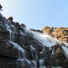
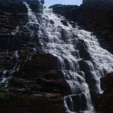
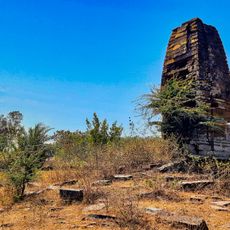
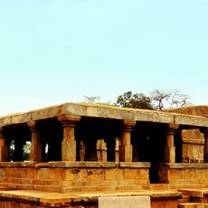
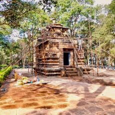
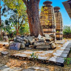
Bastar district is an administrative area in southern Chhattisgarh covering dense forests, gentle hills, and several river courses. The landscape alternates between green valleys and wooded plateaus, with individual villages scattered among the trees.

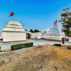
The area was once an independent princely state that joined the new nation after Indian independence. It later became part of Chhattisgarh when that state was formed at the turn of the 21st century.

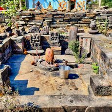
The area takes its name from an old kingdom and is now home to communities living in small forest settlements. Many villages follow their own calendar cycles and celebrate festivals according to the lunar cycle with dances and drums.

Jagdalpur serves as the central hub with regular bus connections from neighboring regions. The cooler months between October and March suit longer stays and exploration better.

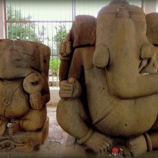
Craftspeople from the area cast figures and jewelry using an ancient lost wax technique passed down through generations. Each piece is made individually and cannot be repeated, as the mold is destroyed during casting.

The community of curious travelers

AroundUs brings together thousands of curated places, local tips, and hidden gems, enriched daily by 60,000 contributors worldwide.

Start exploring
Location
Capital city
Jagdalpur
Shares border with
Kanker district, Koraput district
GPS coordinates
19.06670,82.03310
Latest update
December 13, 2025 18:59
« Bastar district - Administrative district in Chhattisgarh, India » is provided by Around Us (aroundus.com). Images and texts are derived from Wikimedia project under a Creative Commons license. You are allowed to copy, distribute, and modify copies of this page, under the conditions set by the license, as long as this note is clearly visible.

Discover hidden gems everywhere you go!

From secret cafés to breathtaking viewpoints, skip the crowded tourist spots and find places that match your style. Our app makes it easy with voice search, smart filtering, route optimization, and insider tips from travelers worldwide. Download now for the complete mobile experience.

Around Us App Screenshot

A unique approach to discovering new places

Le Figaro

All the places worth exploring

France Info

A tailor-made excursion in just a few clicks

20 Minutes

Around Us
Travel Guide & Maps
Download

Send to your phone

QR Code
1

Open the camera app on your mobile.

2

Point at the QR code with your camera. A notification will appear.

3

Tap the notification to open the link.