Enable Location

We need your location to show you interesting places around you

Discover nearby places

Find interesting locations and hidden gems around you

Precise directions

Get accurate directions and distances to places

Your location is never shared with other users. It's only used when you tap the location button.

Log in to your account

Start exploring — it's free

Trusted by travelers worldwide

Continue with Google
Continue with Apple
or

We will send you a code to connect

By continuing, you accept our Terms and Conditions and our Privacy Policy

Check your inbox

We've sent a pincode in your inbox. Please enter the code below.

Durg district

Durg district, Administrative district in Chhattisgarh, India

Description

Durg district is an administrative region in Chhattisgarh located in eastern India, covering approximately 2,238 square kilometers. The area combines urban centers with agricultural zones and is traversed by the Shivnath River.

History

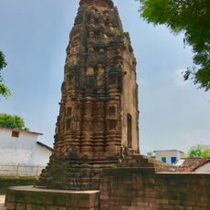
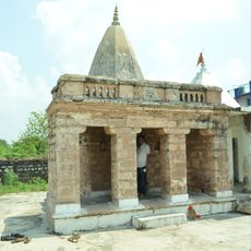
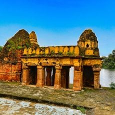
The name comes from a medieval fort that served as the seat of Kalachuri kings for centuries. In 1741, Maratha forces from Nagpur captured the fort, marking a shift in the region's political rule.

Culture

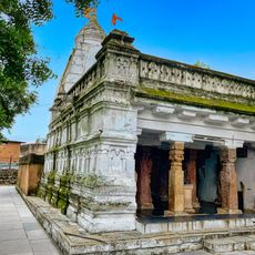
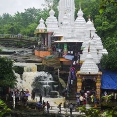
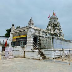
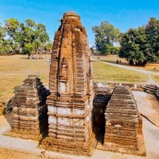
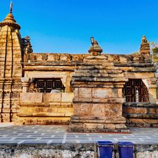
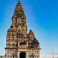
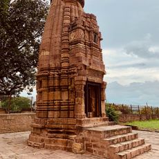
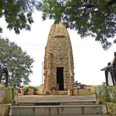
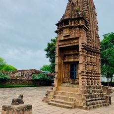
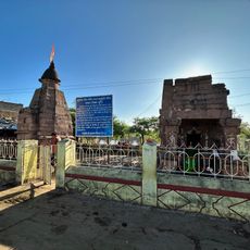
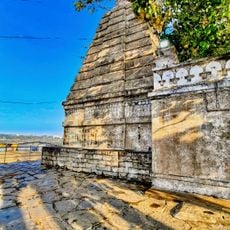
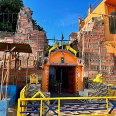
The district is home to temples like Ganga Maiyaat Jhalmala and Uwasaggaharam Parshwa Teerth near Nagpura, where religious ceremonies take place regularly throughout the year. These sacred sites shape the spiritual life of the community and draw worshippers from surrounding areas.

Practical

Visitors can access government services and local information through the district administration's online platform. Documentation, permits, and administrative resources are available through a centralized digital system for residents and travelers.

Did you know?

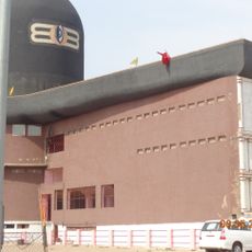
The district contains the Bhilai Steel Plant, one of India's largest steel production facilities. The factory shapes the economic life of the region and remains a major contributor to the country's industrial sector.

Location
Durg division
Capital city
Durg
Shares border with
Dhamtari district, Raipur district
GPS coordinates
21.18333,81.28333
Latest update
December 7, 2025 20:26

AroundUs brings together thousands of curated places, local tips, and hidden gems, enriched daily by 60,000 contributors worldwide. Discover all places nearby (Durg division).

« Durg district - Administrative district in Chhattisgarh, India » is provided by Around Us (aroundus.com). Images and texts are derived from Wikimedia project under a Creative Commons license. You are allowed to copy, distribute, and modify copies of this page, under the conditions set by the license, as long as this note is clearly visible.

Discover hidden gems everywhere you go!

From secret cafés to breathtaking viewpoints, skip the crowded tourist spots and find places that match your style. Our app makes it easy with voice search, smart filtering, route optimization, and insider tips from travelers worldwide. Download now for the complete mobile experience.

Around Us App Screenshot

A unique approach to discovering new places

Le Figaro

All the places worth exploring

France Info

A tailor-made excursion in just a few clicks

20 Minutes

Around Us
Travel Guide & Maps
Download

Send to your phone

QR Code
1

Open the camera app on your mobile.

2

Point at the QR code with your camera. A notification will appear.

3

Tap the notification to open the link.