
Dhupguri, human settlement
Location: Jalpaiguri Sadar subdivision
Elevation above the sea: 80 m
GPS coordinates: 26.60000,89.02000
Latest update: March 2, 2025 20:38

Jaldapara National Park
35.7 km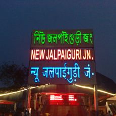
New Jalpaiguri Junction railway station
58.2 km
Buxa Tiger Reserve
56 km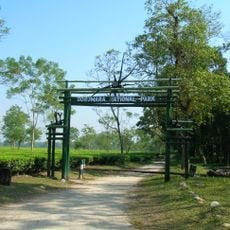
Gorumara National Park
24.6 km
Cooch Behar Palace
51.6 km
Neora Valley National Park
60.3 km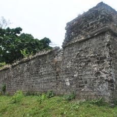
Buxa Fort
58.3 km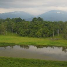
Chapramari Wildlife Sanctuary
34.7 km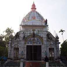
Madhupur Satra
44.3 km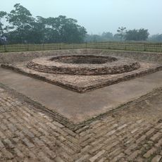
Rajpat
59.8 km
Tashi Gomang Shedra Buddhist Monastery
60.1 km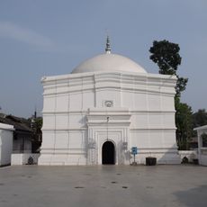
Baneshwar Shiva temple
52.6 km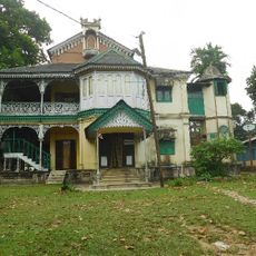
Matiabag Palace
56.9 km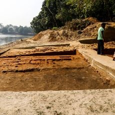
Bhitagarh
44.1 km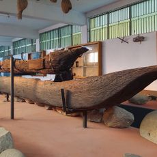
Panchagarh Rocks Museum
54.6 km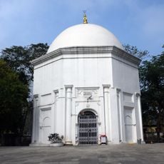
Siddheswari temple
54.9 km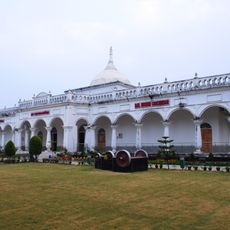
Rail Museum, Cooch Behar
53.6 km
Madan Mohan temple
52.6 km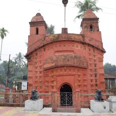
Siddhanath Shiva temple
57.1 km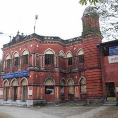
Kalyan Bhawan
52.4 km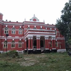
Victor Palace
52 km
Siliguri head post office
60.1 km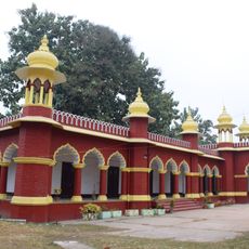
Maharaja Jitendra Narayan Club
52.8 km
Parijat Villa
52.4 km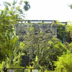
Jalpaiguri rajbati
30.8 km
Cooch Behar head post office
52.7 km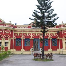
Bhola Ashram
52.6 km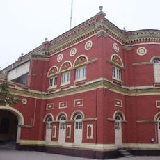
Lansdonne Hall
52 kmReviews
Visited this place? Tap the stars to rate it and share your experience / photos with the community! Try now! You can cancel it anytime.
Discover hidden gems everywhere you go!
From secret cafés to breathtaking viewpoints, skip the crowded tourist spots and find places that match your style. Our app makes it easy with voice search, smart filtering, route optimization, and insider tips from travelers worldwide. Download now for the complete mobile experience.

A unique approach to discovering new places❞
— Le Figaro
All the places worth exploring❞
— France Info
A tailor-made excursion in just a few clicks❞
— 20 Minutes