Enable Location

We need your location to show you interesting places around you

Discover nearby places

Find interesting locations and hidden gems around you

Precise directions

Get accurate directions and distances to places

Your location is never shared with other users. It's only used when you tap the location button.

Varanasi district

Log in to your account

Join the adventure

Create your free account and start exploring (like 60k+ others)

We will send you a code to connect

or
Continue with Google
Continue with Apple
By continuing, you accept our Terms and Conditions and our Privacy Policy

Check your inbox

We've sent a pincode in your inbox. Please enter the code below.

Varanasi district

Varanasi district, Administrative district in Uttar Pradesh, India

Description

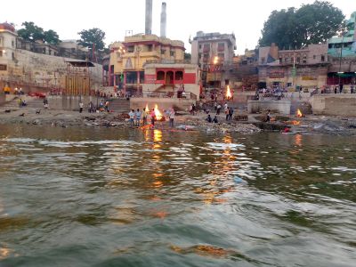
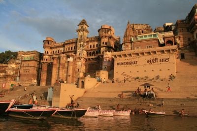
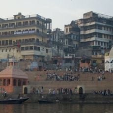
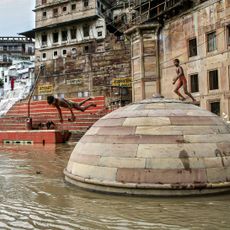
Varanasi district is an administrative area in Uttar Pradesh that stretches along the banks of the Ganges River, connecting urban zones and rural settlements. The region spans varied landscapes with riverbanks, built-up areas, and countryside linked by roads and transportation routes.

History

The territory was once known as Benares State before transitioning to United Provinces administration in 1902. This shift marked a major change in how the region was governed and organized.

Culture

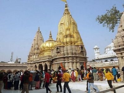
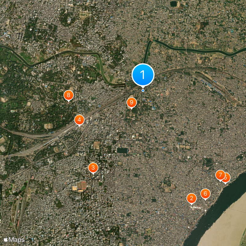
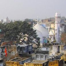
The district holds many temples and is home to traditional silk weavers whose craft has shaped the local identity for generations. Visitors walking through neighborhoods encounter workshops where artisans practice techniques passed down through families, making this an active center of Indian artistic traditions.

Practical

The district connects to major Indian cities through an international airport, railway stations, and a network of highways. Visitors have various transportation options to move around and reach different parts of the region.

Did you know?

Local craftspeople produce famous Banarasi saris by weaving gold and silver threads into intricate silk patterns. These textiles are made using the same techniques passed through generations and are recognized far beyond the region.

Capital city
Varanasi
Shares border with
Bhadohi district, Chandauli district
Address
Varanasi, Uttar Pradesh, India
GPS coordinates
25.33333,83.00000
Latest update
December 17, 2025 07:58

AroundUs brings together thousands of curated places, local tips, and hidden gems, enriched daily by 60,000 contributors worldwide. Discover all places nearby (Varanasi division).

« Varanasi district - Administrative district in Uttar Pradesh, India » is provided by Around Us (aroundus.com). Images and texts are derived from Wikimedia project under a Creative Commons license. You are allowed to copy, distribute, and modify copies of this page, under the conditions set by the license, as long as this note is clearly visible.

Discover hidden gems everywhere you go!

From secret cafés to breathtaking viewpoints, skip the crowded tourist spots and find places that match your style. Our app makes it easy with voice search, smart filtering, route optimization, and insider tips from travelers worldwide. Download now for the complete mobile experience.

Around Us App Screenshot

A unique approach to discovering new places

Le Figaro

All the places worth exploring

France Info

A tailor-made excursion in just a few clicks

20 Minutes

Around Us
Travel Guide & Maps
Download

Send to your phone

QR Code
1

Open the camera app on your mobile.

2

Point at the QR code with your camera. A notification will appear.

3

Tap the notification to open the link.