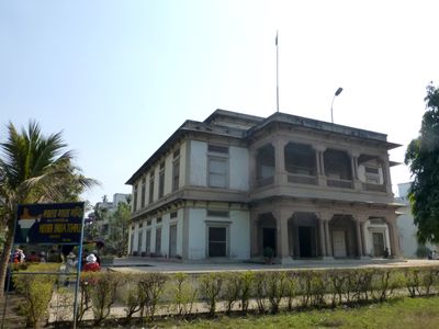
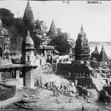
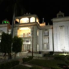
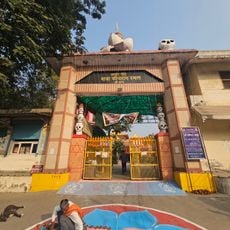
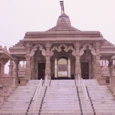
Bharat Mata Mandir, Hindu temple in Varanasi district, India
Bharat Mata Mandir is a Hindu temple in Varanasi district, India, whose main feature is a three-dimensional marble relief map showing historical Indian territory. The map sits in a bright hall and traces mountain ranges, river courses, and coastlines with considerable detail.
Doctor Shiv Prasad Gupta commissioned the building, and Mahatma Gandhi opened it in 1936, supporting the idea of making the land itself an object of reverence. The project emerged within Mahatma Gandhi Kashi Vidyapith, an educational institution with national ambitions.
The name translates to Mother India and reflects reverence for the land as a living entity, visible today through small offerings left by visitors. People often place flowers before the map, blending patriotic feelings with spiritual practice.
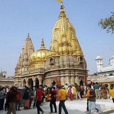
Walking around the map takes about twenty minutes and suits all ages, as the floor is level and lighting is adequate. Visitors interested in geography should allow extra time to study the many labeled places and elevation changes.
The heights of peaks are shown proportionally to real topography, so the highest point of Everest rises through a 15-inch marble piece. Over 450 peaks and 800 rivers are engraved into the surface, representing an unusual craftsmanship effort.
The community of curious travelers
AroundUs brings together thousands of curated places, local tips, and hidden gems, enriched daily by 60,000 contributors worldwide.