Mandi district

Log in to your account

AroundUs is a community-driven map of interesting places, built by curious explorers like you. It grows with every review, story, and photo you share.
Connect to save your favorite spots, contribute locations, and create personalized routes.
Continue with Google
Continue with Apple
Continue with X
Continue with Facebook
Continue with email
By continuing, you accept our Terms and Conditions and our Privacy Policy
Create an account
Add to collection
Map
Suggest a change
Share

Mandi district, Administrative district in Himachal Pradesh, India.

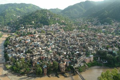
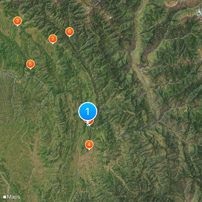
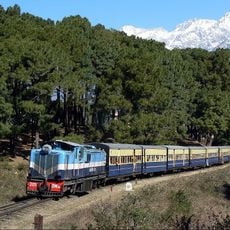
Mandi district is an administrative division in Himachal Pradesh that stretches across valleys and mountain terrain, with the town of Mandi serving as its administrative center. The area is characterized by a network of roads connecting various settlements and shaped by geographic diversity at different elevations.

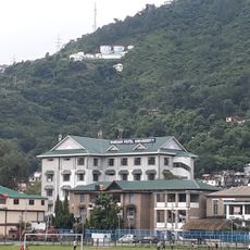
The region was reorganized as an administrative district in 1948 following India's independence, establishing its modern administrative structure. This reorganization was part of India's broader restructuring after the end of British colonial rule.

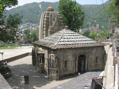
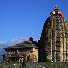
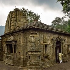
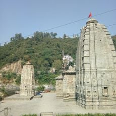
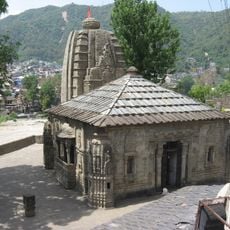
The Mandi Shivratri Festival draws thousands of people annually for a week-long celebration featuring local music, dance performances, and regional traditions. This event reflects the community's deep spiritual devotion and their connection to Shiva worship practices.

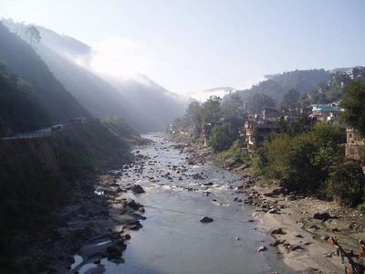
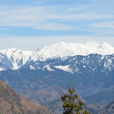
Visitors should be aware that the terrain is mountainous and the best time to travel is during warmer months when roads and routes are easily accessible. Planning ahead and seeking local guidance is important for navigating between different locations and elevations.

Agricultural production adapts to different elevations, with rice cultivated in valleys and apple orchards dominating at higher altitudes. This vertical farming approach makes use of varying climate zones within a relatively small area.

Location: Himachal Pradesh

Inception: April 15, 1948

Capital city: Mandi, Himachal Pradesh

Shares border with: Kangra district

Website: http://hpmandi.nic.in

GPS coordinates: 31.70939,76.93169

Latest update: December 14, 2025 20:37

Photos
Reviews

Visited this place? Tap the stars to rate it and share your experience / photos with the community! Try now! You can cancel it anytime.

« Mandi district - Administrative district in Himachal Pradesh, India » is provided by Around Us (aroundus.com). Images and texts are derived from Wikimedia project under a Creative Commons license. You are allowed to copy, distribute, and modify copies of this page, under the conditions set by the license, as long as this note is clearly visible.

Discover hidden gems everywhere you go!

From secret cafés to breathtaking viewpoints, skip the crowded tourist spots and find places that match your style. Our app makes it easy with voice search, smart filtering, route optimization, and insider tips from travelers worldwide. Download now for the complete mobile experience.

Around Us App Screenshot

A unique approach to discovering new places

Le Figaro

All the places worth exploring

France Info

A tailor-made excursion in just a few clicks

20 Minutes