Enable Location

We need your location to show you interesting places around you

Discover nearby places

Find interesting locations and hidden gems around you

Precise directions

Get accurate directions and distances to places

Your location is never shared with other users. It's only used when you tap the location button.

Nanded district

Log in to your account

Start exploring — it's free

Trusted by 61,452 travelers worldwide

Continue with Google
Continue with Apple
or

We will send you a code to connect

By continuing, you accept our Terms and Conditions and our Privacy Policy

Check your inbox

We've sent a pincode in your inbox. Please enter the code below.

Nanded district, Administrative district in Maharashtra, India

Description

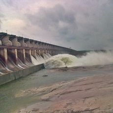
Nanded is an administrative district in Maharashtra state in central India, covering an extensive area of land. The Godavari River flows through it, dividing the landscape into fertile regions that support farming and settlement patterns.

History

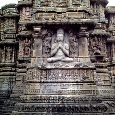
The area was an important settlement in ancient times, with remains showing habitation from many centuries ago. After Indian independence, the region was reorganized administratively and became part of Maharashtra state.

Culture

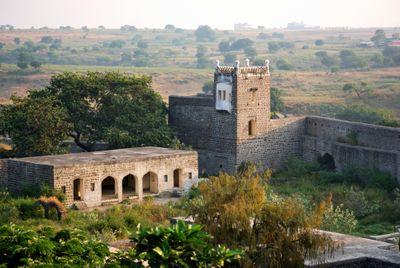
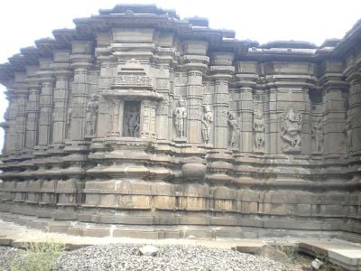
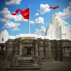
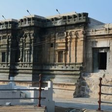
The district holds deep religious significance for Hindu pilgrims, with several temples and shrines dotting the landscape as centers of community life. Local festivals bring residents together throughout the year, reflecting traditions passed down through generations.

Practical

Major roads and highways connect the towns and villages throughout the district, making travel between areas straightforward. Visitors planning to explore should allow flexibility in their routes, as road conditions vary across different regions.

Did you know?

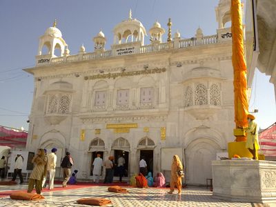
The district is home to the Pandharpur Temple, one of India's oldest and most revered pilgrimage destinations, attracting visitors from across the region. This sacred site draws exceptionally large numbers of pilgrims during certain seasons, shaping the rhythm of life locally.

Capital city
Nanded
Shares border with
Yavatmal district, Adilabad district, Nizamabad district
GPS coordinates
19.16000,77.32000
Latest update
December 17, 2025 07:58

AroundUs brings together thousands of curated places, local tips, and hidden gems, enriched daily by 60,000 contributors worldwide. Discover all places nearby (Sambhajinagar division).

« Nanded district - Administrative district in Maharashtra, India » is provided by Around Us (aroundus.com). Images and texts are derived from Wikimedia project under a Creative Commons license. You are allowed to copy, distribute, and modify copies of this page, under the conditions set by the license, as long as this note is clearly visible.

Discover hidden gems everywhere you go!

From secret cafés to breathtaking viewpoints, skip the crowded tourist spots and find places that match your style. Our app makes it easy with voice search, smart filtering, route optimization, and insider tips from travelers worldwide. Download now for the complete mobile experience.

Around Us App Screenshot

A unique approach to discovering new places

Le Figaro

All the places worth exploring

France Info

A tailor-made excursion in just a few clicks

20 Minutes

Around Us
Travel Guide & Maps
Download

Send to your phone

QR Code
1

Open the camera app on your mobile.

2

Point at the QR code with your camera. A notification will appear.

3

Tap the notification to open the link.