Enable Location

We need your location to show you interesting places around you

Discover nearby places

Find interesting locations and hidden gems around you

Precise directions

Get accurate directions and distances to places

Your location is never shared with other users. It's only used when you tap the location button.

Alwar district

Log in to your account

Start exploring — it's free

Trusted by 61,831 travelers worldwide

Continue with Google
Continue with Apple
or

We will send you a code to connect

By continuing, you accept our Terms and Conditions and our Privacy Policy

Check your inbox

We've sent a pincode in your inbox. Please enter the code below.

Alwar district, Administrative district in Jaipur division, India

Description

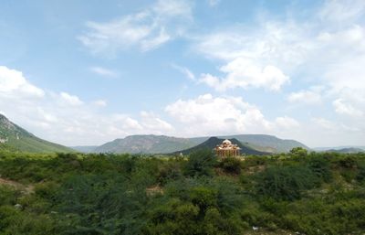
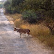
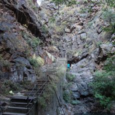
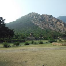
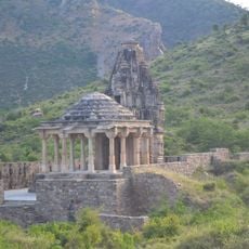
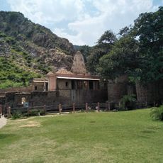
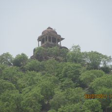
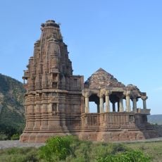
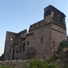
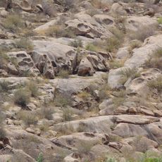
Alwar district is an administrative division in the Jaipur region that covers hilly terrain with forests and farmland scattered throughout. The landscape shows a mix of rocky hills, dense woodland areas, and open fields where farming communities live.

History

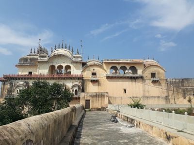
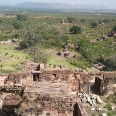
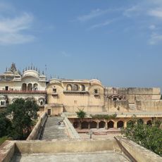
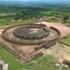
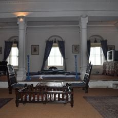
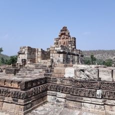
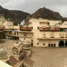
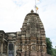
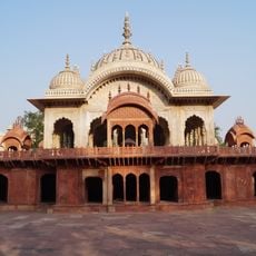
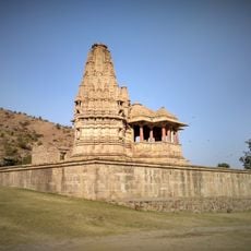
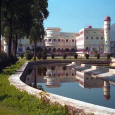
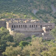
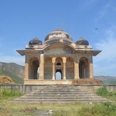
The region has roots in the ancient Matsya kingdom, one of the 16 early republics, and later became a princely state in the 1700s. These two periods shaped how the region was governed and organized for hundreds of years.

Culture

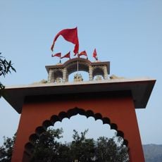
Block printing and pottery workshops show the living craft traditions that visitors can find in local communities throughout the region. The district marks important moments with festivals like Teej and Makar Sankranti, when public spaces fill with color and celebration.

Practical

The district is accessible via National Highway NH8 and train services that connect from Alwar city. Visitors should plan their trip during cooler months since summer heat can be intense in this region.

Did you know?

The Fairy Queen locomotive, built in 1855, still runs between Delhi and this district and ranks among the oldest working trains in the world. Heritage train enthusiasts find this a rare chance to ride a piece of railway history that actually moves.

Location
Capital city
Alwar
Shares border with
Rewari district, Kotputli-Behror district
GPS coordinates
27.57000,76.60000
Latest update
December 17, 2025 09:26

AroundUs brings together thousands of curated places, local tips, and hidden gems, enriched daily by 60,000 contributors worldwide. Discover all places nearby (Jaipur division).

« Alwar district - Administrative district in Jaipur division, India » is provided by Around Us (aroundus.com). Images and texts are derived from Wikimedia project under a Creative Commons license. You are allowed to copy, distribute, and modify copies of this page, under the conditions set by the license, as long as this note is clearly visible.

Discover hidden gems everywhere you go!

From secret cafés to breathtaking viewpoints, skip the crowded tourist spots and find places that match your style. Our app makes it easy with voice search, smart filtering, route optimization, and insider tips from travelers worldwide. Download now for the complete mobile experience.

Around Us App Screenshot

A unique approach to discovering new places

Le Figaro

All the places worth exploring

France Info

A tailor-made excursion in just a few clicks

20 Minutes

Around Us
Travel Guide & Maps
Download

Send to your phone

QR Code
1

Open the camera app on your mobile.

2

Point at the QR code with your camera. A notification will appear.

3

Tap the notification to open the link.