Enable Location

We need your location to show you interesting places around you

Discover nearby places

Find interesting locations and hidden gems around you

Precise directions

Get accurate directions and distances to places

Your location is never shared with other users. It's only used when you tap the location button.

Log in to your account

Start exploring — it's free

Trusted by 62,474 travelers worldwide

Continue with Google
Continue with Apple
or

We will send you a code to connect

By continuing, you accept our Terms and Conditions and our Privacy Policy

Check your inbox

We've sent a pincode in your inbox. Please enter the code below.

Narayanpur district

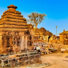
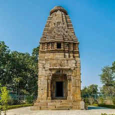
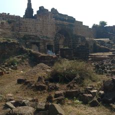
Narayanpur district, Administrative district in Bastar division, India

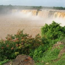
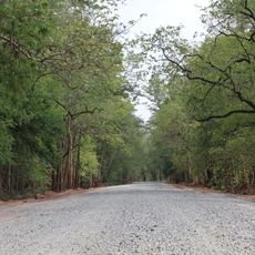
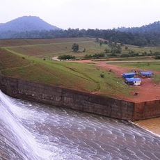
Narayanpur is a district in Chhattisgarh covering around 6,640 square kilometers and organized into 366 villages distributed across two administrative areas. The territory encompasses diverse landscapes that support different communities and settlement patterns throughout the region.

The district was created in 2007 through division of the former Bastar district, marking a turning point in regional administration. This restructuring allowed for more focused management of local affairs under separate governance.

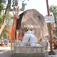
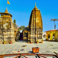
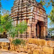
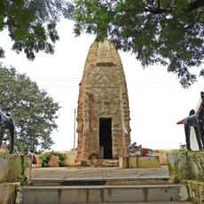
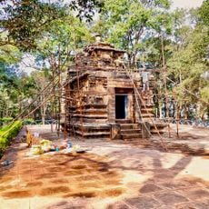
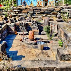
The area is shaped by several tribal communities, particularly Gond, Maria, and Muria peoples, who maintain their own traditions and ways of living. Visitors can observe traditional crafts and daily practices of these groups, which define the character and rhythm of local villages.

The nearest national highway is about 50 kilometers away and connects the area to larger centers. For train services, travelers can use the nearby stations of Jagadalpur and RajaNandagaon.

A large share of residents speaks Gondi, a local language that shapes the linguistic and cultural fabric of the district. This language group is present in many daily interactions and local activities.

The community of curious travelers

AroundUs brings together thousands of curated places, local tips, and hidden gems, enriched daily by 60,000 contributors worldwide.

Start exploring
Location
Inception
2007
Capital city
Narayanpur
Shares border with
Kanker district
GPS coordinates
19.71667,81.25000
Latest update
December 10, 2025 15:52
« Narayanpur district - Administrative district in Bastar division, India » is provided by Around Us (aroundus.com). Images and texts are derived from Wikimedia project under a Creative Commons license. You are allowed to copy, distribute, and modify copies of this page, under the conditions set by the license, as long as this note is clearly visible.

Discover hidden gems everywhere you go!

From secret cafés to breathtaking viewpoints, skip the crowded tourist spots and find places that match your style. Our app makes it easy with voice search, smart filtering, route optimization, and insider tips from travelers worldwide. Download now for the complete mobile experience.

Around Us App Screenshot

A unique approach to discovering new places

Le Figaro

All the places worth exploring

France Info

A tailor-made excursion in just a few clicks

20 Minutes

Around Us
Travel Guide & Maps
Download

Send to your phone

QR Code
1

Open the camera app on your mobile.

2

Point at the QR code with your camera. A notification will appear.

3

Tap the notification to open the link.