Enable Location

We need your location to show you interesting places around you

Discover nearby places

Find interesting locations and hidden gems around you

Precise directions

Get accurate directions and distances to places

Your location is never shared with other users. It's only used when you tap the location button.

Log in to your account

Start exploring — it's free

Trusted by 62,562 travelers worldwide

Continue with Google
Continue with Apple
or

We will send you a code to connect

By continuing, you accept our Terms and Conditions and our Privacy Policy

Check your inbox

We've sent a pincode in your inbox. Please enter the code below.

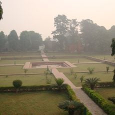
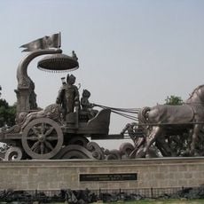
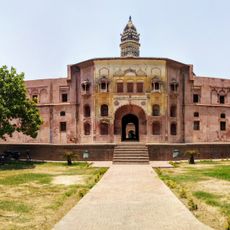
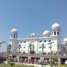
Ambala district, Administrative district in Haryana, India

Ambala district is an administrative division in Haryana located in northern India, sharing borders with Punjab and Himachal Pradesh. It is organized into two subdivisions with several development blocks that form the backbone of local governance.

The area was originally part of East Punjab until 1966, when it became part of Haryana during a major reorganization of Indian states. This change reshaped how the region developed politically and administratively.

Communities here speak Hindi, Punjabi, and Haryanvi in daily life, reflecting the proximity to Punjab and local roots. Hindu, Sikh, and Muslim residents share the space and shape the social fabric of the region.

The district is organized into two administrative subdivisions that serve different local functions and are generally easy to access. Visitors should note that the region is mainly connected by road and has several local markets and administrative centers to explore.

The region hosts numerous manufacturing facilities for scientific instruments that contribute significantly to India's technology sector. This makes the area a quiet center of precision manufacturing and industrial innovation.

The community of curious travelers

AroundUs brings together thousands of curated places, local tips, and hidden gems, enriched daily by 60,000 contributors worldwide.

Start exploring
Location
Capital city
Ambala
Elevation above the sea
275 m
Shares border with
Patiala district, Kurukshetra district, Panchkula district
GPS coordinates
30.32550,76.94690
Latest update
December 20, 2025 11:48
« Ambala district - Administrative district in Haryana, India » is provided by Around Us (aroundus.com). Images and texts are derived from Wikimedia project under a Creative Commons license. You are allowed to copy, distribute, and modify copies of this page, under the conditions set by the license, as long as this note is clearly visible.

Discover hidden gems everywhere you go!

From secret cafés to breathtaking viewpoints, skip the crowded tourist spots and find places that match your style. Our app makes it easy with voice search, smart filtering, route optimization, and insider tips from travelers worldwide. Download now for the complete mobile experience.

Around Us App Screenshot

A unique approach to discovering new places

Le Figaro

All the places worth exploring

France Info

A tailor-made excursion in just a few clicks

20 Minutes

Around Us
Travel Guide & Maps
Download

Send to your phone

QR Code
1

Open the camera app on your mobile.

2

Point at the QR code with your camera. A notification will appear.

3

Tap the notification to open the link.