Enable Location

We need your location to show you interesting places around you

Discover nearby places

Find interesting locations and hidden gems around you

Precise directions

Get accurate directions and distances to places

Your location is never shared with other users. It's only used when you tap the location button.

Log in to your account

Start exploring — it's free

Trusted by 63,133 travelers worldwide

Continue with Google
Continue with Apple
or

We will send you a code to connect

By continuing, you accept our Terms and Conditions and our Privacy Policy

Check your inbox

We've sent a pincode in your inbox. Please enter the code below.

Discussion Reviews Photo
30.1k Popularity

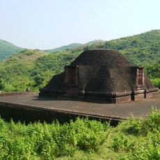
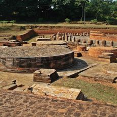
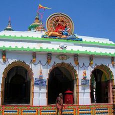
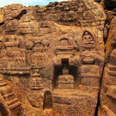
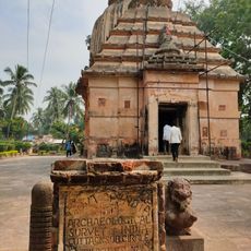
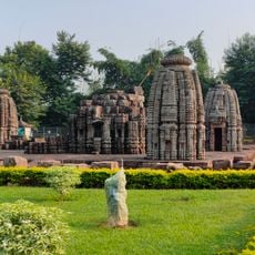
Jajpur district, Administrative district in Odisha, India

Jajpur is an administrative district in Odisha, located in eastern India, covering approximately 2,900 square kilometers. The region is shaped by two geographic zones: the northeastern coastal plain and the central table land.

The district was formed in 1993 through administrative reorganization of Odisha, separating from the former Cuttack district. This division created a new administrative territory in the eastern part of the state.

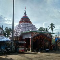
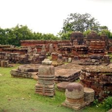
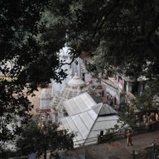
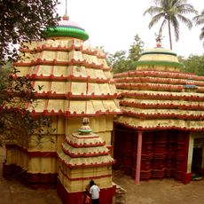
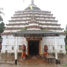
The region is home to Odia-speaking communities whose language and traditions shape daily life throughout the area. The predominantly Hindu population gives the district its cultural character through local customs and observances.

The area is divided into ten administrative divisions and includes several hundred villages spread across the landscape. Most visits will take you through rural communities and their surroundings rather than concentrated urban centers.

The Sukinda area contains some of India's largest chromite deposits and plays a significant role in the nation's mining industry. These mineral resources shape the local economy and landscape in important ways.

The community of curious travelers

AroundUs brings together thousands of curated places, local tips, and hidden gems, enriched daily by 60,000 contributors worldwide.

Start exploring
Location
Central division
Capital city
Jajpur
Elevation above the sea
331 m
Shares border with
Dhenkanal district
GPS coordinates
20.85000,86.33300
Latest update
December 20, 2025 02:38
Reviews
Share your experience

No review yet

Discussions
Start a discussion...

No discussion yet

« Jajpur district - Administrative district in Odisha, India » is provided by Around Us (aroundus.com). Images and texts are derived from Wikimedia project under a Creative Commons license. You are allowed to copy, distribute, and modify copies of this page, under the conditions set by the license, as long as this note is clearly visible.

Discover hidden gems everywhere you go!

From secret cafés to breathtaking viewpoints, skip the crowded tourist spots and find places that match your style. Our app makes it easy with voice search, smart filtering, route optimization, and insider tips from travelers worldwide. Download now for the complete mobile experience.

Around Us App Screenshot

A unique approach to discovering new places

Le Figaro

All the places worth exploring

France Info

A tailor-made excursion in just a few clicks

20 Minutes

Around Us
Travel Guide & Maps
Download

Send to your phone

QR Code
1

Open the camera app on your mobile.

2

Point at the QR code with your camera. A notification will appear.

3

Tap the notification to open the link.