Birbhum district, Administrative district in West Bengal, India
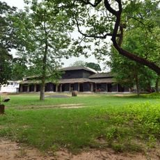
Birbhum is an administrative area in the Burdwan division of eastern West Bengal, covering expansive agricultural land and smaller towns. The landscape shifts between reddish soil in the west and fertile alluvial zones in the east, crossed by rivers and fields.
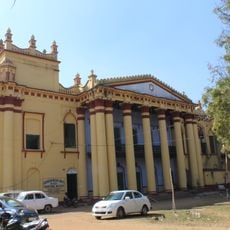
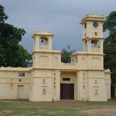
Local rulers governed the area until the 18th century, when British colonial administrators incorporated it into the Bengal Presidency. The designation as a separate administrative district came during the colonial reorganization of the region.
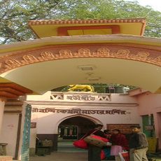
During spring, people celebrate Basanta Utsav, a festival with music and colored powder that visitors can experience in the streets and open spaces. Residents often wear traditional Bengali clothing such as the dhoti or sari during celebrations and religious occasions.
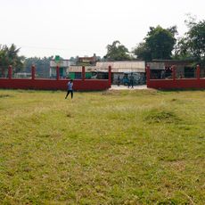
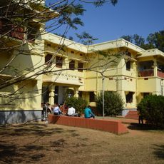
Most places are reachable by bus or local trains, with main roads connecting the larger towns. Travelers find simple accommodations in market towns and can move around using cycle rickshaws or hired vehicles.
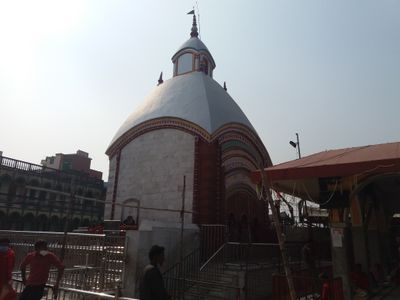
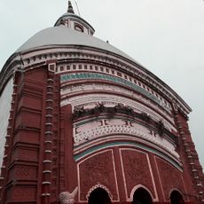
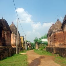
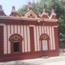
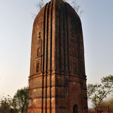
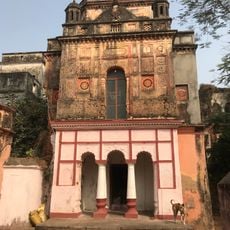
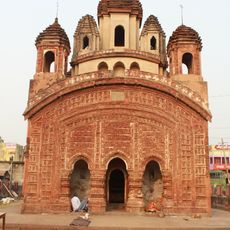
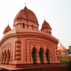
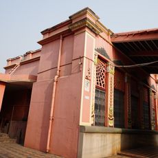
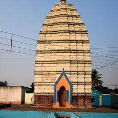
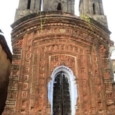
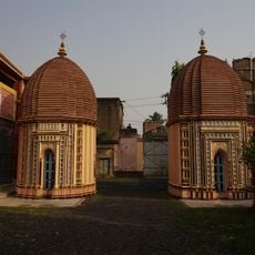
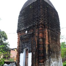
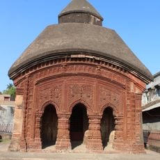
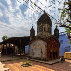
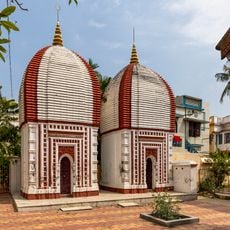
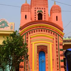
Terracotta temples from the 17th and 18th centuries stand in several villages, displaying detailed reliefs with scenes from epics and daily life. These structures were built by local craftsmen without mortar, only by fitting baked bricks together.
Location: Burdwan division
Capital city: Suri
Shares border with: Dumka district, Murshidabad district, Purba Bardhaman district, Paschim Bardhaman district, Jamtara district, Pakur district
Website: http://birbhum.nic.in
GPS coordinates: 23.91000,87.52700
Latest update: December 13, 2025 17:46
Santiniketan
30.2 km
Tarapith
35.6 km
Santhal Pargana division
65.7 km
Pandu Rajar Dhibi
38.4 km
Maluti temples
30.3 kmBallabhpur Wildlife Sanctuary
28.1 km
Nandikeshwari Temple
15.2 km
Fullara
30.7 km
Temple of Ichai Ghosh
34.3 km
Amkhoi Fossil Park
32.6 km
Raipur Rajbari
34.6 km
Radha Binod Temple
31.4 km
Radhamadhab temple of Sarkar family
42.6 km
Gopinathjiu temple of Handa family
41.2 km
Shiva Rekha Deul temple
37.8 km
Rabindra Bhavana Museum
30 km
Gopaleshwar Shiva temple
35.4 km
Twin Shiva temple of Handa family
41.2 km
Aduria Shiva deul
39 km
Hetampur Rajbari
19.7 km
Damodar Temple
835 m
Laxmi Janardan temple
31 kmDharmaraj Temple
17 km
Jora Shiva temple
31.1 km
Singha Sadan
30 km
Kalo Bari
30 km
Hattala Pancharatna Shiva temple
35.7 kmBalajuri Khageswarnath Shiva temple
21.8 kmVisited this place? Tap the stars to rate it and share your experience / photos with the community! Try now! You can cancel it anytime.
Discover hidden gems everywhere you go!
From secret cafés to breathtaking viewpoints, skip the crowded tourist spots and find places that match your style. Our app makes it easy with voice search, smart filtering, route optimization, and insider tips from travelers worldwide. Download now for the complete mobile experience.
A unique approach to discovering new places❞
— Le Figaro
All the places worth exploring❞
— France Info
A tailor-made excursion in just a few clicks❞
— 20 Minutes