Enable Location

We need your location to show you interesting places around you

Discover nearby places

Find interesting locations and hidden gems around you

Precise directions

Get accurate directions and distances to places

Your location is never shared with other users. It's only used when you tap the location button.

Nagamangala

Log in to your account

Start exploring — it's free

Trusted by 62,502 travelers worldwide

Continue with Google
Continue with Apple
or

We will send you a code to connect

By continuing, you accept our Terms and Conditions and our Privacy Policy

Check your inbox

We've sent a pincode in your inbox. Please enter the code below.

Nagamangala

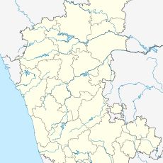
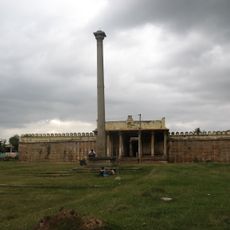
Nagamangala, Temple town in Mandya District, Karnataka, India

Nagamangala is a town in Karnataka situated at approximately 772 meters elevation with clear highway connections via NH-150A and SH-85 that make it accessible to nearby regions. The settlement is organized around its temples and residential areas, with roads linking these spaces through the compact urban layout.

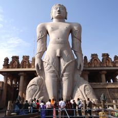
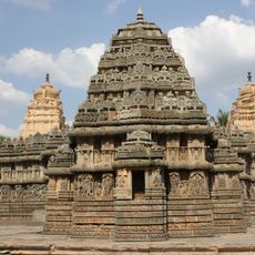
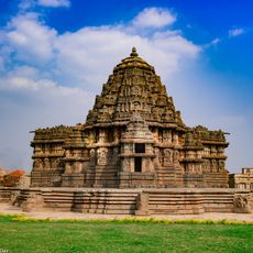
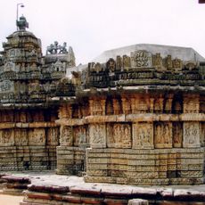
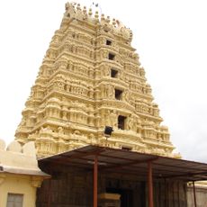
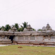
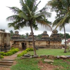
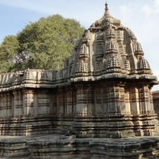
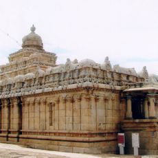
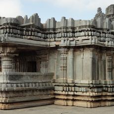
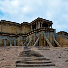
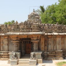
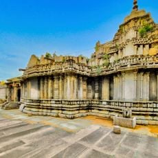
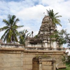
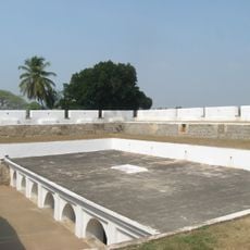
The town developed under various dynasties including the Mauryas and Cholas, whose influence remains visible in local architectural styles and structures. These early periods laid the foundations for the religious and settlement patterns seen today.

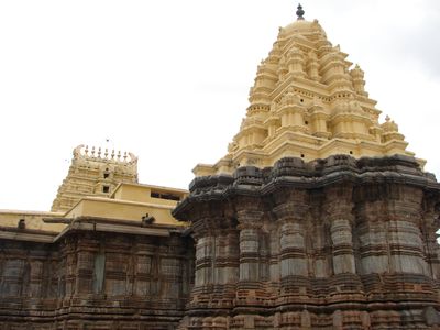
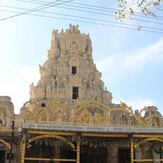
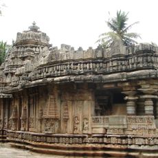
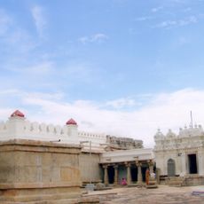
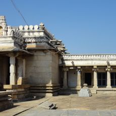
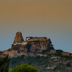
The town centers around its temples dedicated to Someshwara, Soumya Keshavaswamy, and Yoganarasimha Swamy, which serve as gathering places for local worship and celebrations. These sites reflect how residents practice their faith through regular rituals and seasonal festivals.

Access to the town is primarily by road, with the nearest railway station at B.G. Nagar located about 17 kilometers away. Visitors should plan travel using buses or private vehicles, as direct train connections are not available.

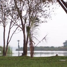
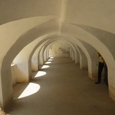
The town sits at a transitional point between flat and hilly terrain, giving it a distinctive geographic position in the region. It often goes unnoticed by travelers despite offering a quieter alternative to larger urban centers nearby.

The community of curious travelers

AroundUs brings together thousands of curated places, local tips, and hidden gems, enriched daily by 60,000 contributors worldwide.

Start exploring
Elevation above the sea
772 m
GPS coordinates
12.82000,76.76000
Latest update
December 7, 2025 20:47
« Nagamangala - Temple town in Mandya District, Karnataka, India » is provided by Around Us (aroundus.com). Images and texts are derived from Wikimedia project under a Creative Commons license. You are allowed to copy, distribute, and modify copies of this page, under the conditions set by the license, as long as this note is clearly visible.

Discover hidden gems everywhere you go!

From secret cafés to breathtaking viewpoints, skip the crowded tourist spots and find places that match your style. Our app makes it easy with voice search, smart filtering, route optimization, and insider tips from travelers worldwide. Download now for the complete mobile experience.

Around Us App Screenshot

A unique approach to discovering new places

Le Figaro

All the places worth exploring

France Info

A tailor-made excursion in just a few clicks

20 Minutes

Around Us
Travel Guide & Maps
Download

Send to your phone

QR Code
1

Open the camera app on your mobile.

2

Point at the QR code with your camera. A notification will appear.

3

Tap the notification to open the link.