Enable Location

We need your location to show you interesting places around you

Discover nearby places

Find interesting locations and hidden gems around you

Precise directions

Get accurate directions and distances to places

Your location is never shared with other users. It's only used when you tap the location button.

Pandavapura

Log in to your account

Start exploring — it's free

Trusted by 62,464 travelers worldwide

Continue with Google
Continue with Apple
or

We will send you a code to connect

By continuing, you accept our Terms and Conditions and our Privacy Policy

Check your inbox

We've sent a pincode in your inbox. Please enter the code below.

Pandavapura

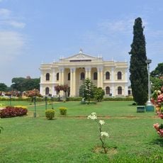
Pandavapura, Administrative town in Mandya district, Karnataka, India

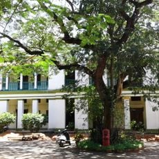
Pandavapura is an administrative town in Mandya district, Karnataka, serving as a center for local governance across a wider region. It encompasses multiple villages under its jurisdiction, each with its own local administrative bodies responsible for community services and development.

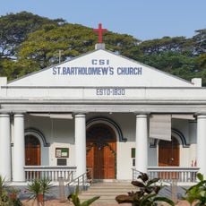
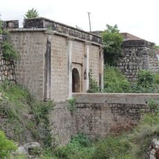
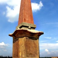
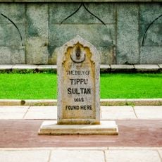
The area was once called French Rocks, named after French military forces who established camps here while supporting Tippu Sultan against British troops. This period as a military outpost influenced the area's early development during colonial-era conflicts.

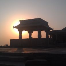
The name comes from the Pandava brothers of ancient mythology, who are said to have spent time in this region during their exile according to local tradition. This connection shapes how residents understand their town's identity and its place in the larger cultural landscape.

The best time to visit is during the drier months when roads are easily accessible and exploring the region is comfortable. Local administrative offices can provide information about the area and point visitors toward places of interest in the vicinity.

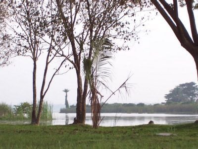
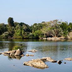
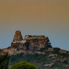
The landscape is marked by several hills, including Kunti Betta named after the Pandavas' mother, which stands as a natural landmark. Nearby, another hill was extensively mined for stone, creating a contrasting element that reshapes how the terrain appears today.

The community of curious travelers

AroundUs brings together thousands of curated places, local tips, and hidden gems, enriched daily by 60,000 contributors worldwide.

Start exploring
Location
Pandavapura Taluk
Elevation above the sea
708 m
GPS coordinates
12.50000,76.67000
Latest update
December 7, 2025 19:24
« Pandavapura - Administrative town in Mandya district, Karnataka, India » is provided by Around Us (aroundus.com). Images and texts are derived from Wikimedia project under a Creative Commons license. You are allowed to copy, distribute, and modify copies of this page, under the conditions set by the license, as long as this note is clearly visible.

Discover hidden gems everywhere you go!

From secret cafés to breathtaking viewpoints, skip the crowded tourist spots and find places that match your style. Our app makes it easy with voice search, smart filtering, route optimization, and insider tips from travelers worldwide. Download now for the complete mobile experience.

Around Us App Screenshot

A unique approach to discovering new places

Le Figaro

All the places worth exploring

France Info

A tailor-made excursion in just a few clicks

20 Minutes

Around Us
Travel Guide & Maps
Download

Send to your phone

QR Code
1

Open the camera app on your mobile.

2

Point at the QR code with your camera. A notification will appear.

3

Tap the notification to open the link.