Enable Location

We need your location to show you interesting places around you

Discover nearby places

Find interesting locations and hidden gems around you

Precise directions

Get accurate directions and distances to places

Your location is never shared with other users. It's only used when you tap the location button.

Log in to your account

Start exploring — it's free

Trusted by 61,514 travelers worldwide

Continue with Google
Continue with Apple
or

We will send you a code to connect

By continuing, you accept our Terms and Conditions and our Privacy Policy

Check your inbox

We've sent a pincode in your inbox. Please enter the code below.

Latehar district

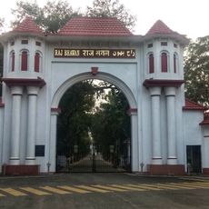
Latehar district, Administrative district in Palamu division, Jharkhand, India.

Description

Latehar is an administrative district in Palamu division located in eastern India, organized into nine administrative blocks spread across varied terrain. The region is defined by forests, hills, and waterways, with the town of Latehar functioning as the main administrative center.

History

The district was established on April 4, 2001, when it was separated from the Latehar subdivision of the former Palamu district. This administrative division created a new governmental entity in the region as part of broader territorial reorganization.

Culture

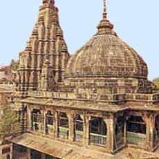
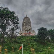
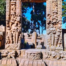
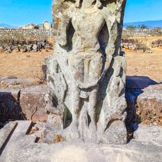
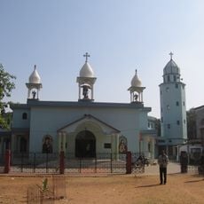
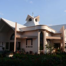
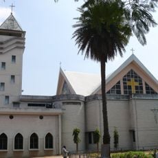
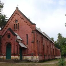
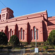
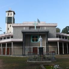
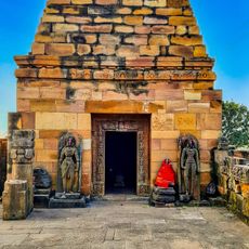
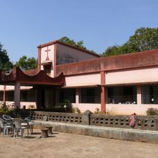
The local population practices various faiths that coexist in daily life, shaping how communities celebrate festivals and gather in public spaces. This religious diversity is visible in the different kinds of temples, shrines, and prayer sites scattered across settlements.

Practical

The district is connected to surrounding areas through a network of roads that link to neighboring regions. Travelers should expect varying road conditions and journey times, especially when heading toward more remote areas or natural attractions.

Did you know?

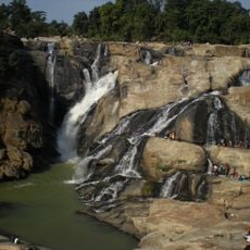
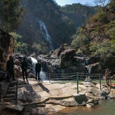
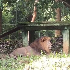
The area is home to two notable waterfalls—Lodh Falls and Lower Ghaghri Falls—that rank among the region's most significant water features. The presence of Betla National Park adds an important protected natural space where visitors can encounter native wildlife and forest ecosystems.

Location
Capital city
Latehar
Shares border with
Garhwa district
GPS coordinates
23.73000,84.47000
Latest update
December 7, 2025 20:45

AroundUs brings together thousands of curated places, local tips, and hidden gems, enriched daily by 60,000 contributors worldwide. Discover all places nearby (Palamu division).

« Latehar district - Administrative district in Palamu division, Jharkhand, India » is provided by Around Us (aroundus.com). Images and texts are derived from Wikimedia project under a Creative Commons license. You are allowed to copy, distribute, and modify copies of this page, under the conditions set by the license, as long as this note is clearly visible.

Discover hidden gems everywhere you go!

From secret cafés to breathtaking viewpoints, skip the crowded tourist spots and find places that match your style. Our app makes it easy with voice search, smart filtering, route optimization, and insider tips from travelers worldwide. Download now for the complete mobile experience.

Around Us App Screenshot

A unique approach to discovering new places

Le Figaro

All the places worth exploring

France Info

A tailor-made excursion in just a few clicks

20 Minutes

Around Us
Travel Guide & Maps
Download

Send to your phone

QR Code
1

Open the camera app on your mobile.

2

Point at the QR code with your camera. A notification will appear.

3

Tap the notification to open the link.