
Umred, human settlement in Nagpur district, Nagpur division, Maharashtra, India
Location: Nagpur district
Elevation above the sea: 280 m
GPS coordinates: 20.85000,79.33000
Latest update: March 31, 2025 12:16
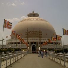
Deekshabhoomi
41.3 km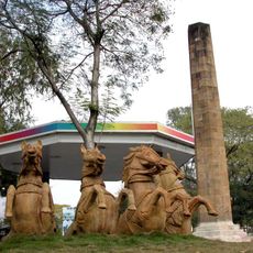
Zero Mile
42.3 km
Sitabuldi Fort
41.8 km
Raman Science Centre
41.1 km
Maharajbagh zoo
42 km
Futala Lake
44.9 km
Hedgewar Smruti Mandir
39.1 km
Nagpur Central Museum
42.5 km
Namantar Shahid Smarak
43.2 km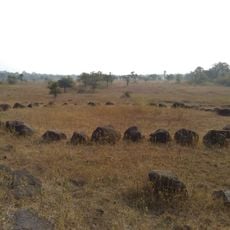
Stone circles of Junapani
51.8 km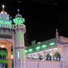
Masjid Ghareeb Nawaz
39.4 km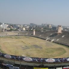
Yashwant Stadium
41.3 km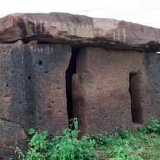
Hirapur dolmen
32.7 km
Statue of Bakht Buland Shah
42.6 km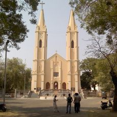
St. Francis de Sales Cathedral of Nagpur
43.1 km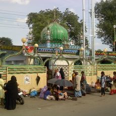
Meetha Neem Dargah
42.6 km
Temple of Mahadev, Neri
44.2 km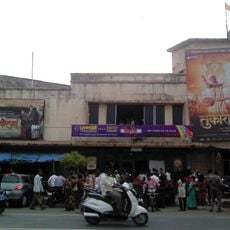
Laxmi talkies, Nagpur
41.2 km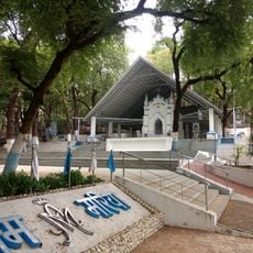
Lourd Mata Mandir
44.6 km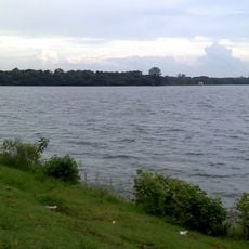
Ambājheri Tank
43.3 km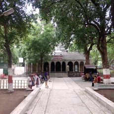
Kalyaneshwar Mandir, Telankhedi
44.9 km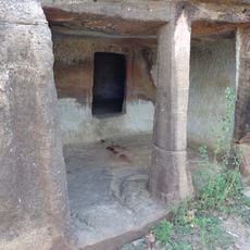
Panch Pandav caves
39.9 km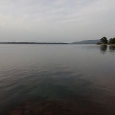
Ghorājhari Tank
46.5 km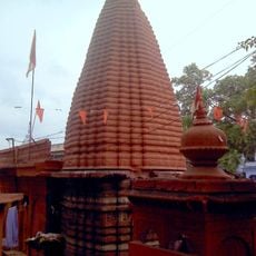
Sangameshwar Mahadeo Mandir
41.4 km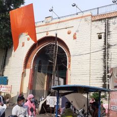
Jumma Gate
40.4 km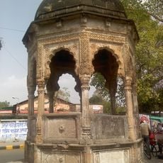
Chhatri in Memory of Rao Bahadur Mukherji
40.7 km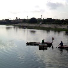
Raghuji Talāv
37.6 km
Phutāla Talāv
45 kmReviews
Visited this place? Tap the stars to rate it and share your experience / photos with the community! Try now! You can cancel it anytime.
Discover hidden gems everywhere you go!
From secret cafés to breathtaking viewpoints, skip the crowded tourist spots and find places that match your style. Our app makes it easy with voice search, smart filtering, route optimization, and insider tips from travelers worldwide. Download now for the complete mobile experience.

A unique approach to discovering new places❞
— Le Figaro
All the places worth exploring❞
— France Info
A tailor-made excursion in just a few clicks❞
— 20 Minutes