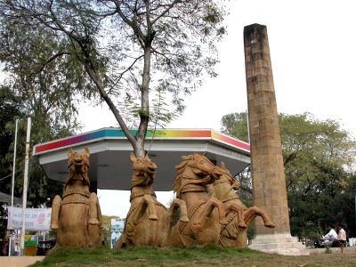
Zero Mile, Kilometer zero marker in Nagpur, India.
Zero Mile is a sandstone pillar topped with four stucco horses, located at Nagpur's center at an elevation of 310 meters above sea level. The hexagonal base displays inscriptions showing distances to major Indian cities.
British engineers established this central reference point in 1907 during the Great Trigonometrical Survey of India to measure distances across the country. This survey created the foundational framework for mapping the Indian territory.
The site represents the convergence of multiple Indian regions and functions as a physical reference point for the nation's geographical center. Visitors experience standing at a place that holds this central significance in the country's spatial identity.
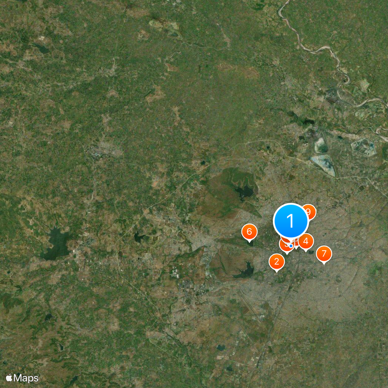
The site is located at coordinates 21°08'59″N 79°04'50″E in central Nagpur and is straightforward to find. The hexagonal base is visible from all sides and offers good views of the surroundings.
The monument contains a GTS Standard Bench Mark and displays precise measurements to nine metropolitan centers including Chennai, Bangalore, and Ahmedabad. These exact distances originally served as reference points for all mapping work under the British administrative system in India.
The community of curious travelers
AroundUs brings together thousands of curated places, local tips, and hidden gems, enriched daily by 60,000 contributors worldwide.