Enable Location

We need your location to show you interesting places around you

Discover nearby places

Find interesting locations and hidden gems around you

Precise directions

Get accurate directions and distances to places

Your location is never shared with other users. It's only used when you tap the location button.

Nagpur district

Log in to your account

Start exploring — it's free

Trusted by 63,555 travelers worldwide

Continue with Google
Continue with Apple
or

We will send you a code to connect

By continuing, you accept our Terms and Conditions and our Privacy Policy

Check your inbox

We've sent a pincode in your inbox. Please enter the code below.

Discussion Reviews 2 Photos
54k Popularity

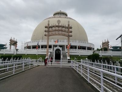
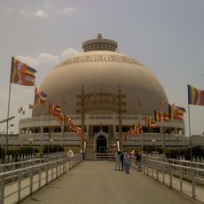
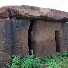
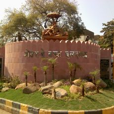
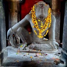
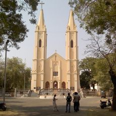
Nagpur district, Administrative district in Maharashtra, India

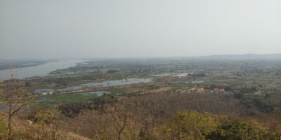
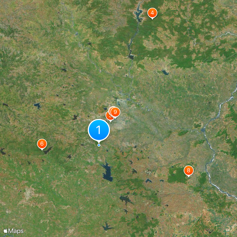
Nagpur district is an administrative region in Maharashtra state covering around 9,900 square kilometers. It combines urban areas with farmland and is divided into fourteen smaller administrative subdivisions including Ramtek, Umred, and Kalameshwar.

The district was established in 1853 when British colonial authorities organized the region as an administrative unit. This formation marked a turning point in how the area was governed and developed under colonial rule.

The main language spoken across the district is Marathi, though Hindi, Urdu, and other tongues are part of everyday conversation. This linguistic mix shapes how communities interact and express their local identity.

The area is divided into smaller administrative units that help with navigation and understanding different parts of the region. Visitors should plan time to explore since this covers a large territory.

The district is home to Dr. Babasaheb Ambedkar International Airport, which serves as a major aviation hub for India. This airport connects the region to numerous destinations across the country.

The community of curious travelers

AroundUs brings together thousands of curated places, local tips, and hidden gems, enriched daily by 60,000 contributors worldwide.

Start exploring
Location
Capital city
Nagpur
Shares border with
Wardha district, Bhandara district
GPS coordinates
21.00000,79.00000
Latest update
December 14, 2025 17:40
Reviews
Share your experience

No review yet

Discussions
Start a discussion...

No discussion yet

« Nagpur district - Administrative district in Maharashtra, India » is provided by Around Us (aroundus.com). Images and texts are derived from Wikimedia project under a Creative Commons license. You are allowed to copy, distribute, and modify copies of this page, under the conditions set by the license, as long as this note is clearly visible.

Discover hidden gems everywhere you go!

From secret cafés to breathtaking viewpoints, skip the crowded tourist spots and find places that match your style. Our app makes it easy with voice search, smart filtering, route optimization, and insider tips from travelers worldwide. Download now for the complete mobile experience.

Around Us App Screenshot

A unique approach to discovering new places

Le Figaro

All the places worth exploring

France Info

A tailor-made excursion in just a few clicks

20 Minutes

Around Us
Travel Guide & Maps
Download

Send to your phone

QR Code
1

Open the camera app on your mobile.

2

Point at the QR code with your camera. A notification will appear.

3

Tap the notification to open the link.