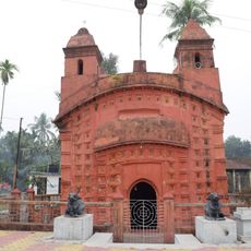
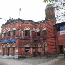
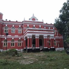
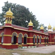
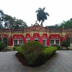
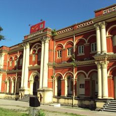
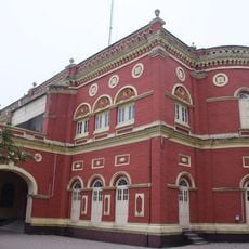
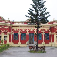
Cooch Behar district, Administrative district in Jalpaiguri division, India
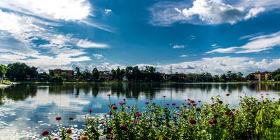
Cooch Behar district spreads across northeastern West Bengal as a region of flat terrain shaped by three major rivers that wind through the land. The Teesta, Jaldhaka, and Torsa rivers serve as vital sources for farming and daily water needs.
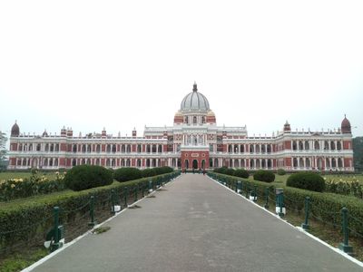
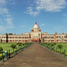
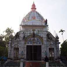
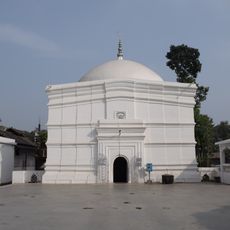
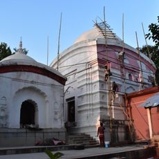
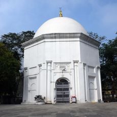
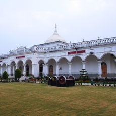
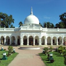
This region was an independent princely state under the Koch dynasty until 1949, governed by its own ruler and court. The Maharaja handed over power to the Indian government, ending a long era of self-rule.
People here celebrate festivals rooted in Bengali traditions that bring different communities together throughout the year. The daily life shows the blend of Hindu and Muslim customs that have shaped the region over time.
The district is connected by railways to major cities, and local buses and auto-rickshaws move people within the area. Travel on smaller routes may take longer due to distances, so planning ahead helps make the most of your time.
This district holds a notable place in India because it has the highest proportion of Scheduled Castes population across all districts in the country. This demographic characteristic shapes the social fabric and community life in meaningful ways.
The community of curious travelers
AroundUs brings together thousands of curated places, local tips, and hidden gems, enriched daily by 60,000 contributors worldwide.