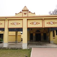
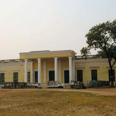
Amdanga community development block, Community development block in West Bengal, India.
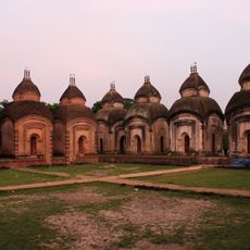
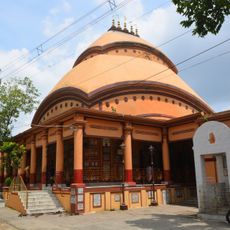
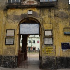
Amdanga is a community development block in the Barasat Sadar subdivision of North 24 Parganas district, West Bengal, made up of eight gram panchayats covering many rural villages. The land is mostly flat, given over to rice, jute, and vegetable farming, with primary schools and health posts spread across the area.
The block was set up as an administrative unit within North 24 Parganas to organize local governance and rural development after independence. Over time, infrastructure work gradually connected the villages and brought basic services to more settlements.
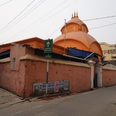
Muslim and Hindu communities live side by side in the villages here, each celebrating their own festivals at different times of the year. Local markets and community gatherings reflect this shared daily life.
The villages are linked by rural roads, some of which may be unpaved, so conditions can vary by season. Most gram panchayat areas have a local market, a primary school, and a health post, which are useful reference points when moving through the block.
Jute has been one of the main crops of this region for generations, and it is still grown on many fields today even as global demand has shifted. Knowledge of how to grow and process jute passes from one generation to the next within the villages.
The community of curious travelers
AroundUs brings together thousands of curated places, local tips, and hidden gems, enriched daily by 60,000 contributors worldwide.