Beldanga II community development block, Community development block in Berhampur subdivision, West Bengal, India.
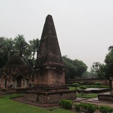
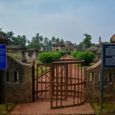
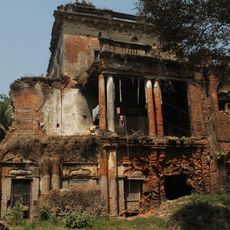
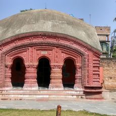
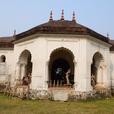
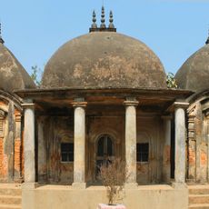
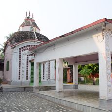
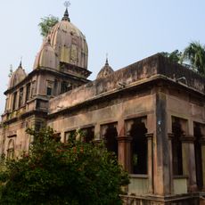
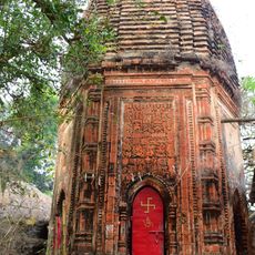
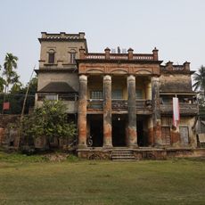
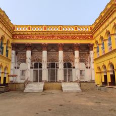
Beldanga II is a community development block in the Berhampur subdivision of West Bengal, India, covering a number of villages and small settlements on flat land. Sarulia serves as the main administrative center of the block, where most public facilities are concentrated.
The block was set up after Indian independence as part of West Bengal's administrative reorganization, aimed at bringing governance closer to rural communities. This reform introduced the gram panchayat system, which still shapes local administration today.
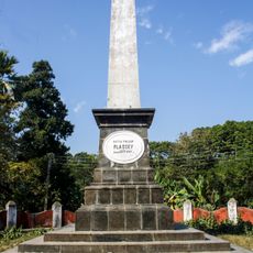
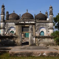
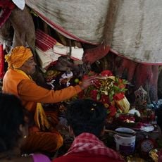
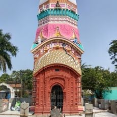
Muslim and Hindu communities share daily life in the block, with Bengali spoken across villages and local markets. The mix is easy to notice in the way festivals, small shops, and public spaces reflect both traditions side by side.
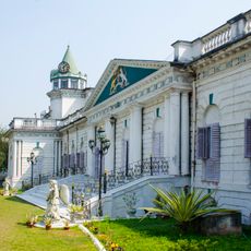
The area is made up of scattered villages across flat land, so it is worth allowing extra time to move between settlements. Sarulia is the most practical starting point for visiting the block, as it has the most basic services available.
Seasonal irrigation channels run through many of the villages and play a central role in the farming cycle, especially during drier months. The pace of daily life across the block tends to follow the rhythm of the agricultural season rather than any urban calendar.
The community of curious travelers
AroundUs brings together thousands of curated places, local tips, and hidden gems, enriched daily by 60,000 contributors worldwide.