Chandra Taal, Glacial lake in Lahaul and Spiti district, India.
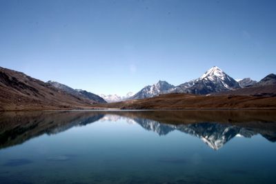
Chandra Taal is a glacial lake situated in the Lahaul and Spiti district at an elevation of around 4,300 meters in the eastern Himalayas. The water body stretches roughly 1.7 kilometers in length with a width of about 400 meters and lies in a high-altitude cold desert region.
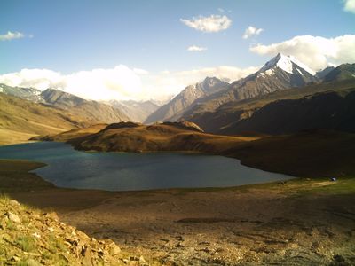
The lake served for centuries as grazing ground where shepherds from Kullu and Kangra brought their herds during the warmer season using established mountain routes. These pastoral practices shaped the region and demonstrate long-standing traditions of highland use.
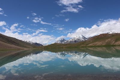
The crescent shape of this lake connects it to the moon in local stories that blend mountain traditions with the Indian understanding of the sky. Visitors notice how local names and oral traditions reflect a deep relationship between people and the landscape they inhabit.
The lake is best visited between June and September when trails are accessible and weather is most favorable for travel. A short walk of roughly one kilometer from the parking area reaches the shoreline, and preparation for high-altitude conditions is important.
The water shifts in color throughout the day, reflecting surrounding mountains and sky in changing shades of blue, an effect especially visible in this cold desert setting. These visual shifts happen because of the thin atmosphere and how sunlight angles across the high altitude terrain.
The community of curious travelers
AroundUs brings together thousands of curated places, local tips, and hidden gems, enriched daily by 60,000 contributors worldwide.