Enable Location

We need your location to show you interesting places around you

Discover nearby places

Find interesting locations and hidden gems around you

Precise directions

Get accurate directions and distances to places

Your location is never shared with other users. It's only used when you tap the location button.

Log in to your account

Start exploring — it's free

Trusted by 62,285 travelers worldwide

Continue with Google
Continue with Apple
or

We will send you a code to connect

By continuing, you accept our Terms and Conditions and our Privacy Policy

Check your inbox

We've sent a pincode in your inbox. Please enter the code below.

Kalimpong II community development block

Kalimpong II community development block, Administrative block in Kalimpong district, India.

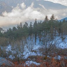
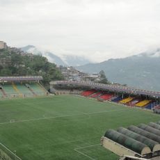
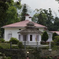
Kalimpong II is an administrative block in a mountainous region ranging from 300 to 3000 meters in elevation. The area contains dozens of inhabited villages and a census town spread across steep terrain and valleys.

This administrative block served the region for several decades as a local governance unit. In 2019 it was dissolved and replaced by the Lava block, marking a major shift in administrative organization.

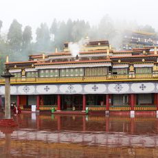
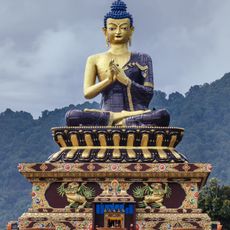
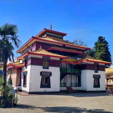
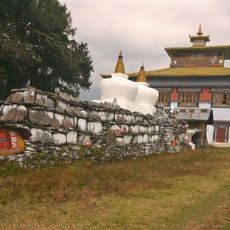
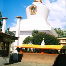
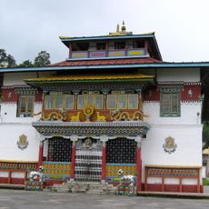
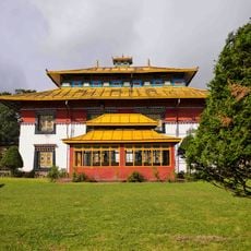
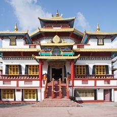
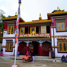
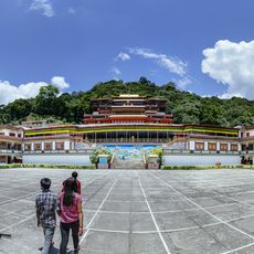
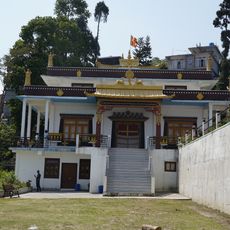
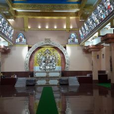
The local population speaks Nepali as their main language and follows different faiths that coexist in daily life. Religious diversity shapes the customs and traditions you observe in villages and settlements.

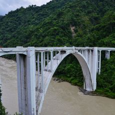
All settlements in this block have electricity and drinking water access, making basic infrastructure widely available. Getting around involves mountain roads, so plan for slow travel across hilly terrain.

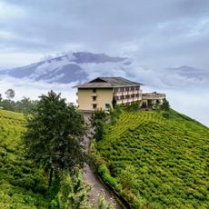
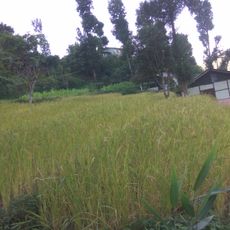
Local tea gardens produce renowned Darjeeling varieties that have been grown here for generations. Farmers also cultivate traditional crops like rice, wheat, maize, and potatoes that define the rural landscape.

The community of curious travelers

AroundUs brings together thousands of curated places, local tips, and hidden gems, enriched daily by 60,000 contributors worldwide.

Start exploring
Shares border with
Kalimpong I community development block, Gorubathan community development block
GPS coordinates
27.12000,88.59300
Latest update
December 12, 2025 17:43
« Kalimpong II community development block - Administrative block in Kalimpong district, India » is provided by Around Us (aroundus.com). Images and texts are derived from Wikimedia project under a Creative Commons license. You are allowed to copy, distribute, and modify copies of this page, under the conditions set by the license, as long as this note is clearly visible.

Discover hidden gems everywhere you go!

From secret cafés to breathtaking viewpoints, skip the crowded tourist spots and find places that match your style. Our app makes it easy with voice search, smart filtering, route optimization, and insider tips from travelers worldwide. Download now for the complete mobile experience.

Around Us App Screenshot

A unique approach to discovering new places

Le Figaro

All the places worth exploring

France Info

A tailor-made excursion in just a few clicks

20 Minutes

Around Us
Travel Guide & Maps
Download

Send to your phone

QR Code
1

Open the camera app on your mobile.

2

Point at the QR code with your camera. A notification will appear.

3

Tap the notification to open the link.