Madarihat-Birpara community development block, Community development block in Alipurduar subdivision, India
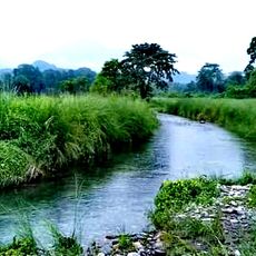
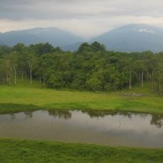
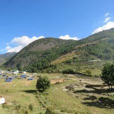
Madarihat-Birpara is an administrative region in northern West Bengal with sub-Himalayan terrain and a border with Bhutan to the north. The area spans mountainous and forested land divided by the Dadua River on its western edge and contains 48 villages with schools and a rural hospital.
The region was established as part of West Bengal's development programs and reorganized when Alipurduar district separated from Jalpaiguri district in 2014. This administrative change brought new structures for local development and management.
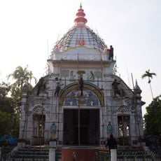
Hindu, Muslim, Christian, and Buddhist residents share this community and speak Sadri, Nepali, and Bengali in their daily lives. This mix of languages and beliefs shapes how people interact and celebrate together throughout the year.
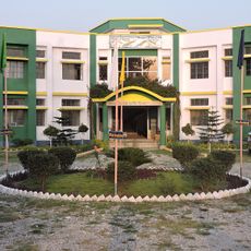
The block consists of 48 villages with electricity access, schools, and health facilities including a rural hospital. The mountainous and forested landscape means weather can change quickly at higher elevations, so visitors should dress in layers.
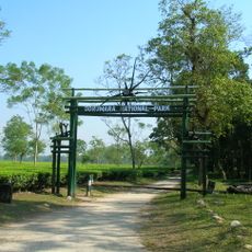
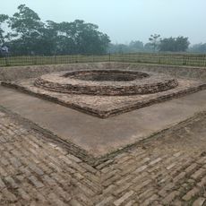
The region is divided into ten gram panchayats, which are local administrative units with their own governance roles. Totopara Ballalguri stands out as an area where indigenous communities continue to live according to their long-established traditions and practices.
The community of curious travelers
AroundUs brings together thousands of curated places, local tips, and hidden gems, enriched daily by 60,000 contributors worldwide.