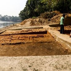
Rajganj community development block, Administrative division in Jalpaiguri Sadar, India.
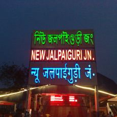
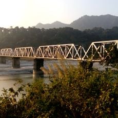
Rajganj is an administrative block in Jalpaiguri Sadar subdivision that stretches between the Mahananda and Teesta rivers. The area divides geographically into the Bhaber region in the north and Terai plains in the south.
The block was established during India's first Five Year Plan starting in 1952 to create decentralized administrative structures for regional development. These institutions were designed to improve coordination between local communities and central government.
The population of 373,776 residents communicates primarily in Bengali at 81 percent, while Hindi, Rajbongshi, Nepali, and Sadri languages represent minority groups.
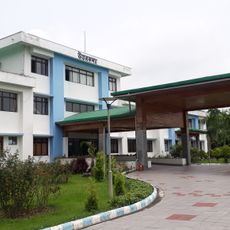
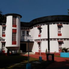
Local healthcare provision includes a rural hospital and several health centers that serve basic medical needs for residents. Private medical facilities complement the public services across different parts of the block.
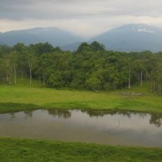
The area is known for cultivating multiple crops including tea plantations, jute, and tobacco alongside extensive rice fields. This agricultural diversity shapes both the landscape appearance and daily activities of the population.
The community of curious travelers
AroundUs brings together thousands of curated places, local tips, and hidden gems, enriched daily by 60,000 contributors worldwide.