Ratua II community development block, Community development block in Chanchal subdivision, India.
Ratua II is an administrative block in Chanchal subdivision covering about 101 square kilometers marked by flat terrain, mud banks, and marshy areas near the Mahananda River. The area contains 48 inhabited villages with electricity and drinking water access, though banking services and transport connections are limited in some places.
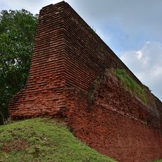
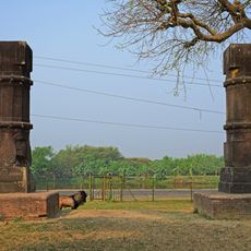
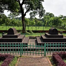
The region was once part of Pundravardhana during the Gupta Empire and underwent administrative changes when Malda district was established under British rule in 1813. These shifts shaped the area's modern structure.
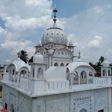
Muslim and Hindu communities live here and practice their faiths while speaking Bengali as their shared language. This coexistence shapes the daily rhythms and customs you see throughout the area.
The area is mostly flat and experiences major flooding during monsoon season, affecting daily life and farming. Visitors should expect wet conditions and limited access in some sections, particularly in the rainy months.
The area sits in the Tal region where river meanders and marshy landscapes shape the natural features, showing visitors how water patterns define local life. These water-based characteristics make it an example of how communities adapt to river and wetland environments.
The community of curious travelers
AroundUs brings together thousands of curated places, local tips, and hidden gems, enriched daily by 60,000 contributors worldwide.