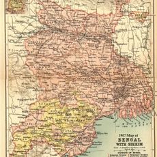
Saltora community development block, Administrative division in Bankura district, India.
Saltora Community Development Block is an administrative unit in the Bankura district of West Bengal, made up of villages, farmland, and forested areas on red laterite soil. The terrain is gently rolling, with sal forests spread across the area and Biharinath hill as a notable natural feature.
The area came under the rule of Hindu Rajas from Bishnupur around the 7th century, and their influence shaped local governance for several centuries. British colonial administration took over in the 18th century, bringing new land management systems that replaced the earlier structures.
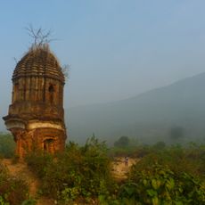
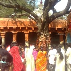
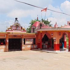
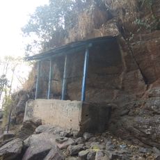
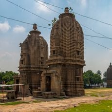
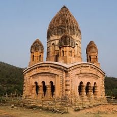
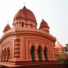
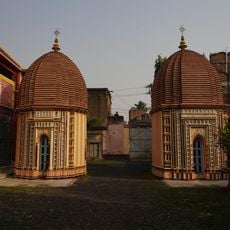
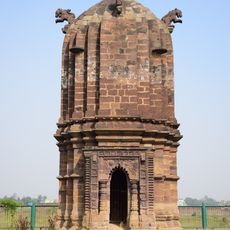
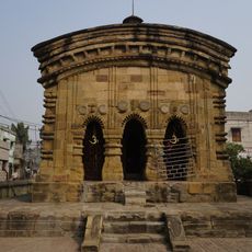
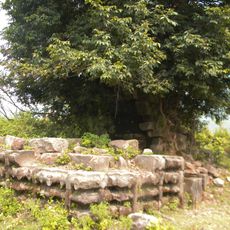
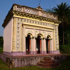
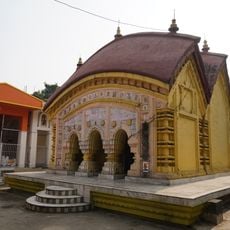
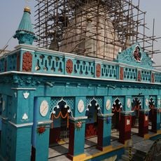
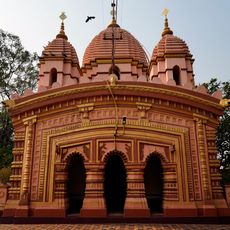
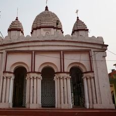
Around Biharinath hill, small temples serve as gathering points where people come together for festivals and religious observances. The area is also known for its tribal communities, whose oral traditions and seasonal rituals remain part of everyday life.
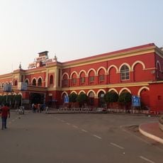
State Highway 8 is the main road running through the area, making it the easiest route to reach the block from other parts of the region. Healthcare posts and schools are spread across the villages, so visiting specific facilities may require some advance planning.
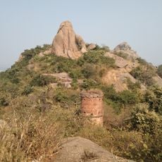
Biharinath hill, located within the block, is considered sacred by several communities and also sits on a rare geological boundary where laterite meets older gneiss rock. This makes it a point of interest for those curious about the geology of the Deccan region.
The community of curious travelers
AroundUs brings together thousands of curated places, local tips, and hidden gems, enriched daily by 60,000 contributors worldwide.