
Veerapunayunipalle mandal, village in India
Location: YSR district
Capital city: Veerapunayunipalle
GPS coordinates: 14.47200,78.47200
Latest update: March 4, 2025 23:57
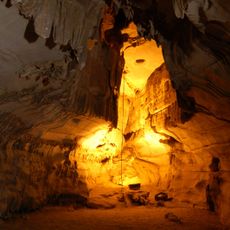
Belum Caves
80.2 km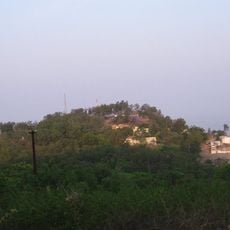
Horsley Hills
91.8 km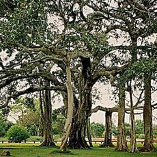
Thimmamma Marrimanu
51.9 km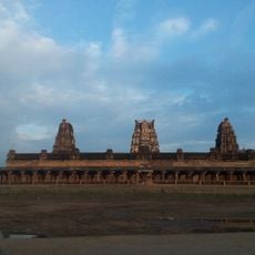
Sri Kodandrama Swamy Temple, Vontimitta
60.5 km
Chowdeshwari Temple at Nandavaram
102.5 km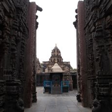
Bugga Ramalingeswara temple
70.3 km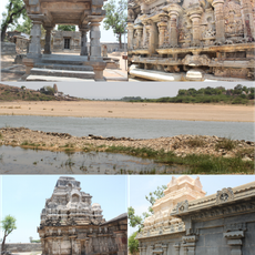
Pushpagiri Group of Temples
33.9 km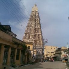
Sri Ranganathaswamy Temple
99.8 km
Galeru Nagari Sujala Sravanthi Project
44.4 km
Chintala Venkataramana Temple, Tadipatri
69.7 km
Anantapur clock tower
97.2 km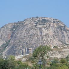
Gurramkonda Fort
78.4 km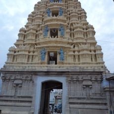
Laxminarsimha Swamy temple, Kadiri
52.9 km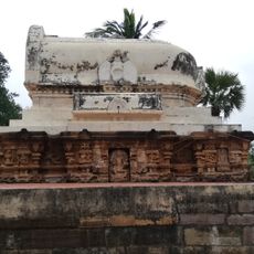
Athirala parasurama temple
78.8 km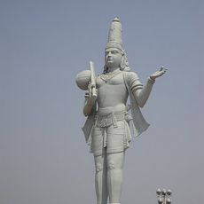
Annamacharya statue in Tallapaka
80.2 km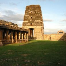
Madhavaraya Temple
93.5 km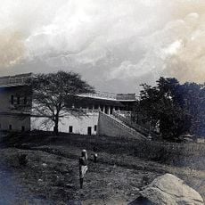
Gurramkonda Mahal
78.4 km
Sri Lakshmi Narasimha Swamy Temple, Ahobilam
76.8 km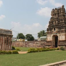
Saumyanatha temple
73.3 km
Gandikota Fort
42.9 km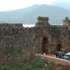
Siddavatam Fort
53.3 km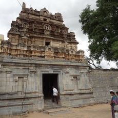
Bhimeshwara swamy temple
33.6 km
Chennakeswaraswami Temple
73.1 km
Vaidhyanadha swamy temple
33.6 km
Udayagiri Fort
96.9 km
Indranadheshwara swamy temple
33.9 km
Chennakesava Temple, Pushpagiri
34 km
Indranatha Temple, Pushpagiri
33.9 kmReviews
Visited this place? Tap the stars to rate it and share your experience / photos with the community! Try now! You can cancel it anytime.
Discover hidden gems everywhere you go!
From secret cafés to breathtaking viewpoints, skip the crowded tourist spots and find places that match your style. Our app makes it easy with voice search, smart filtering, route optimization, and insider tips from travelers worldwide. Download now for the complete mobile experience.

A unique approach to discovering new places❞
— Le Figaro
All the places worth exploring❞
— France Info
A tailor-made excursion in just a few clicks❞
— 20 Minutes