Enable Location

We need your location to show you interesting places around you

Discover nearby places

Find interesting locations and hidden gems around you

Precise directions

Get accurate directions and distances to places

Your location is never shared with other users. It's only used when you tap the location button.

Log in to your account

Start exploring — it's free

Trusted by 68,051 travelers worldwide

Continue with Google
Continue with Apple
or

We will send you a code to connect

By continuing, you accept our Terms and Conditions and our Privacy Policy

Check your inbox

We've sent a pincode in your inbox. Please enter the code below.

Gopiballavpur I community development block
Discussion Reviews Photo
3.7k Popularity

Gopiballavpur I community development block, Administrative division in Jhargram, India.

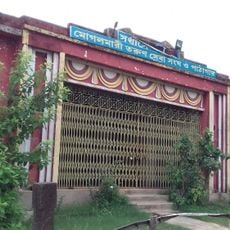
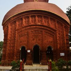
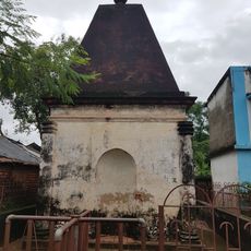
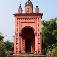
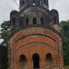
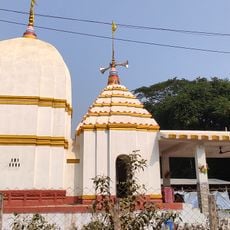
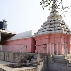
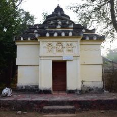
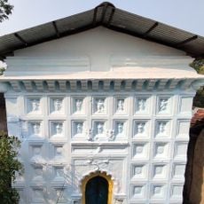
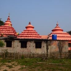
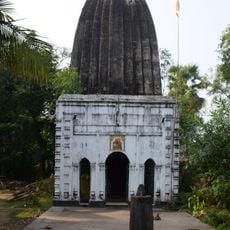
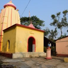
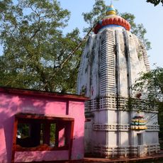
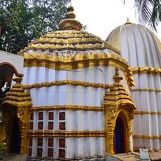
Gopiballavpur I is a community development block in the Jhargram subdivision of West Bengal, India, made up of a number of rural villages grouped under local village councils. The block is one of two in the area that share the name Gopiballavpur, the other being Gopiballavpur II, and both are administered as part of the wider Jhargram district.

The block was shaped by the political unrest that swept through the Jhargram region in 1968, which led to changes in how local administration was organized. Those events left a mark on how village governance developed in the years that followed.

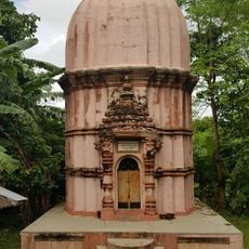
The area sits in a part of West Bengal where village councils remain the center of daily life, organizing local decisions and community events. During harvest time, the surrounding fields bring people together in a way that reflects the agricultural rhythm of the region.

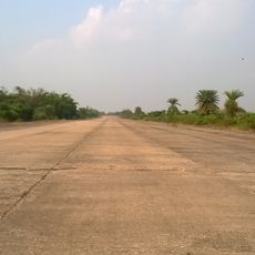
The area is rural and most roads between villages are easier to travel during the dry season, so planning a visit outside the monsoon months makes getting around more manageable. Local shared transport is the most common way to move between settlements in the block.

Much of the land in this block sits on laterite soil, which drains quickly and holds few nutrients, making farming here harder than in many other parts of West Bengal. Over generations, local farmers have developed crop choices and techniques that work with this type of ground rather than against it.

The community of curious travelers

AroundUs brings together thousands of curated places, local tips, and hidden gems, enriched daily by 60,000 contributors worldwide.

Start exploring
Elevation above the sea
82 m
Shares border with
Gopiballavpur II community development block, Nayagram community development block
GPS coordinates
22.20378,86.96049
Latest update
March 3, 2026 14:01
Reviews
Share your experience

No review yet

Discussions
Start a discussion...

No discussion yet

« Gopiballavpur I community development block - Administrative division in Jhargram, India » is provided by Around Us (aroundus.com). Images and texts are derived from Wikimedia project under a Creative Commons license. You are allowed to copy, distribute, and modify copies of this page, under the conditions set by the license, as long as this note is clearly visible.

Discover hidden gems everywhere you go!

From secret cafés to breathtaking viewpoints, skip the crowded tourist spots and find places that match your style. Our app makes it easy with voice search, smart filtering, route optimization, and insider tips from travelers worldwide. Download now for the complete mobile experience.

Around Us App Screenshot

A unique approach to discovering new places

Le Figaro

All the places worth exploring

France Info

A tailor-made excursion in just a few clicks

20 Minutes

Around Us
Travel Guide & Maps
Download

Send to your phone

QR Code
1

Open the camera app on your mobile.

2

Point at the QR code with your camera. A notification will appear.

3

Tap the notification to open the link.