
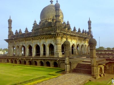
Ibrahim Rouza, tomb in Bijapur, Karnataka, India
Location: Vijaypura District
GPS coordinates: 16.82700,75.70200
Latest update: September 23, 2025 14:19
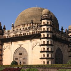
Gol Gumbaz
3.6 km
Bijapur Fort
717 m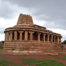
Durga temple, Aihole
91.8 km
Siddheshwar Temple, Solapur
96.6 km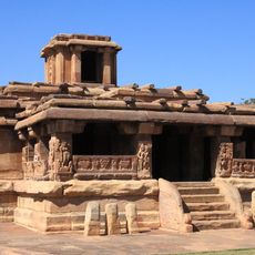
Lad Khan Temple
91.9 km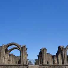
Bara Kaman
1.7 km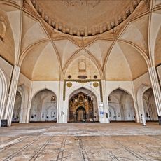
Jama Masjid, Bijapur
2.9 km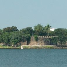
Solapur Bhuikot Killa
96.7 km
Bilagi
54.2 km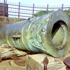
Malik-E-Maidan
937 m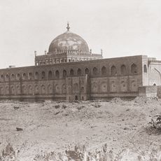
Jama Masjid
2.9 km
Mallikarjuna Temple Complex, Aihole
92 km
Raval Phadi (Brahmanical Cave)
91.7 km
Virupaksha temple
98.5 km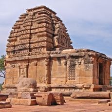
Jambulinga temple
98.4 km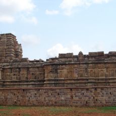
Papanatha temple
98.7 km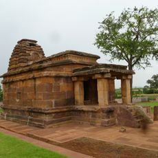
Basavanna Temple Aihole
91.8 km
Narsing Girji Mill
96.2 km
Public Garden Nagaravana
75 km
Galaganatha Temples Aihole -2
92.8 km
Meguti Jaina temple
92.2 km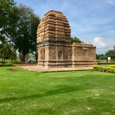
Kadasiddesvara temple
98.3 km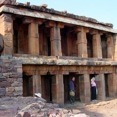
Two storeyed Jaina temple and cave at Meguti hill
92.2 km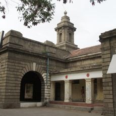
Solapur head post office
95.6 km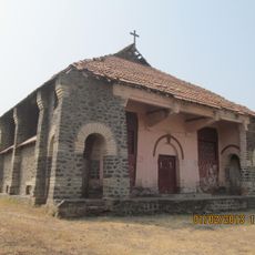
Umedpur Church
93.8 km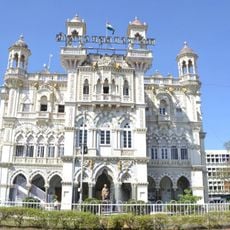
Indrabhuvan
96.1 km
Dr. Kotnis House
96 km
Old SMC Building
96.9 kmVisited this place? Tap the stars to rate it and share your experience / photos with the community! Try now! You can cancel it anytime.
Discover hidden gems everywhere you go!
From secret cafés to breathtaking viewpoints, skip the crowded tourist spots and find places that match your style. Our app makes it easy with voice search, smart filtering, route optimization, and insider tips from travelers worldwide. Download now for the complete mobile experience.

A unique approach to discovering new places❞
— Le Figaro
All the places worth exploring❞
— France Info
A tailor-made excursion in just a few clicks❞
— 20 Minutes