Viðey, Island in Kollafjörður Bay, Iceland
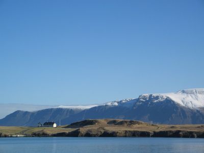
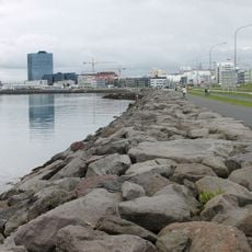
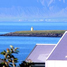
Viðey is an island in Kollafjörður Bay near Reykjavík that rises to about 32 meters above sea level with grasslands and rocky coastal sections. The island spans roughly 1.6 square kilometers and is accessible by ferry from multiple terminals in the city.
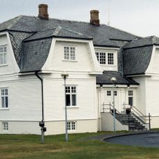
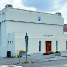
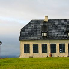
An Augustinian monastery was established in 1225 and remained active until 1539, establishing the island as a spiritual center. Later, Skuli Magnusson built a residence there, transforming the place into a wealthy landowner's home.
Nine basalt column pairs form the Afangar installation by Richard Serra on the northwestern shore, creating a striking dialogue between art and landscape. The work allows visitors to experience contemporary art directly embedded in nature without artificial barriers disrupting the raw Icelandic surroundings.
Ferries connect the island from multiple terminals in Reykjavík during summer months, with winter service limited to weekends from Skarfabakki. Visitors should expect changeable weather and wear sturdy footwear since the ground is uneven and sometimes slippery in places.
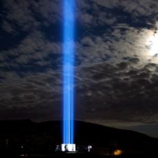
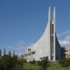
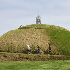
The Imagine Peace Tower projects light beams each year from October through December, commemorating John Lennon's birth and death dates. The structure was built in 1991 to honor the Apple Records founder and draws music fans from around the world.
The community of curious travelers
AroundUs brings together thousands of curated places, local tips, and hidden gems, enriched daily by 60,000 contributors worldwide.