Umbertide, Medieval commune in Perugia province, Italy
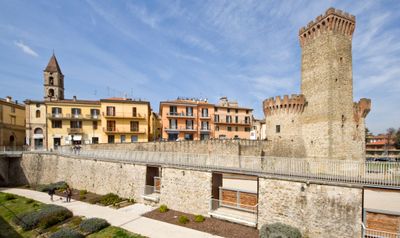
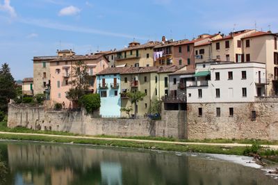
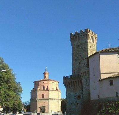
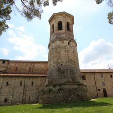
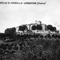
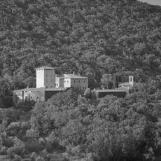
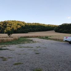
Umbertide is a commune in the northwestern part of Umbria, where the Reggia flows into the Tiber and the terrain rises gradually from a valley floor. The town stretches along the main road between Perugia and Città di Castello, surrounded by low hills with fields and scattered farmhouses.
The town carried a different name for centuries until a royal connection led to its renaming in 1863, paying tribute to the crown prince of that era. This change marked the shift from local medieval heritage to national identity after Italian unification.
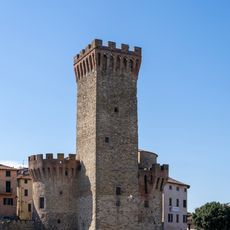
The name appears on road signs and maps only since the second half of the 19th century, while older residents sometimes still use the earlier designation. Piazza Matteotti serves as the central meeting point, where the weekly market spreads out in the morning and vendors offer regional products.
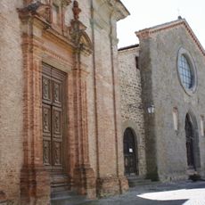
Visitors can reach the main points of interest on foot, as churches and museums lie within the historic center. Parking is generally available at the edge of the old town, from where the main streets and squares are just a few minutes away.
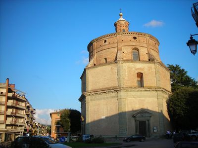
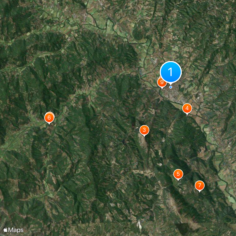
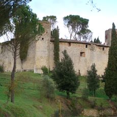
The abbey church of San Salvatore di Montecorona preserves column capitals from the 11th century in its crypt, showing plant and animal motifs in early Romanesque technique. Above these old stone works stretch ceiling paintings from the 18th century, depicting biblical scenes in bright colors.
The community of curious travelers
AroundUs brings together thousands of curated places, local tips, and hidden gems, enriched daily by 60,000 contributors worldwide.