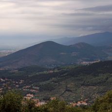
Montemurlo, Italian comune
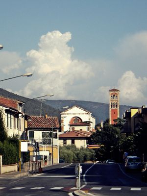
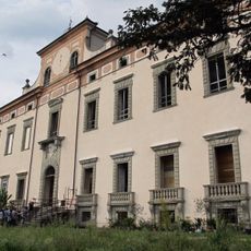
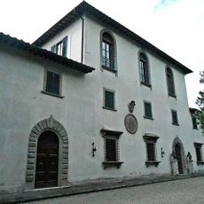
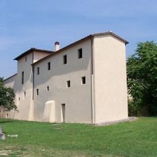
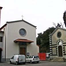
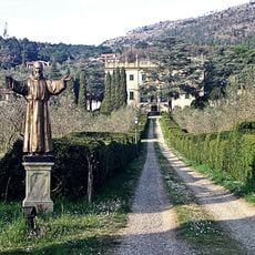
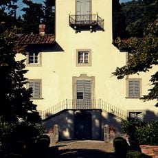
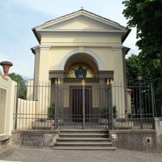
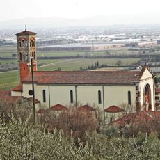
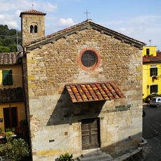
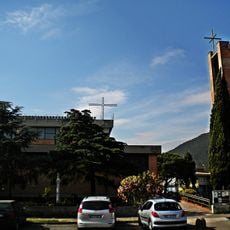
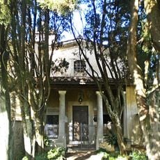
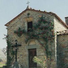
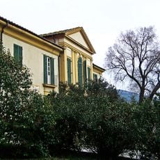
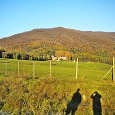
Montemurlo is a small town in the Province of Prato with its center perched on a hill overlooking the surrounding valley. The settlement combines historic buildings and churches like the Romanesque Pieve di San Giovanni Decollato with modern residential areas, while Renaissance villas from Florentine families are scattered across the green hills.
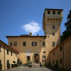
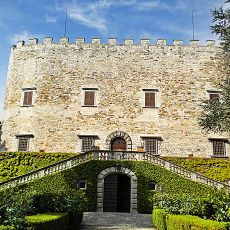
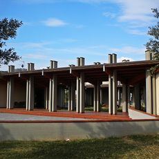
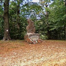
Montemurlo developed from medieval fortifications and farming communities, with the Rocca di Montemurlo built in the 15th century as a defensive stronghold. Over recent decades it transformed into a modern textile manufacturing hub while preserving the old structures and layout of its medieval past.
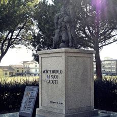
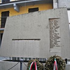
The name Montemurlo comes from Latin origins meaning "wall mountain," reflecting the area's medieval importance. Today, residents gather in small town squares for festivals and celebrations featuring local food, crafts, and music that keep traditional ways of living alive.
The town is easily reached from larger cities like Prato and Florence via good roads and public transport. You will find accommodations such as bed and breakfasts and small hotels, along with restaurants serving local dishes, and the small size makes walking around straightforward and relaxing.
The textile industry in the Oste district has specialized in eco-friendly production, focusing on recycling and reusing materials to create high-quality fabrics. This sustainable approach sets this area apart as a leader in environmentally conscious manufacturing.
The community of curious travelers
AroundUs brings together thousands of curated places, local tips, and hidden gems, enriched daily by 60,000 contributors worldwide.