
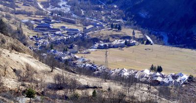
Sambuco, Italian comune
Location: Province of Cuneo
Elevation above the sea: 1,184 m
Shares border with: Canosio, Marmora, Pietraporzio, Vinadio, Demonte
Website: https://comune.sambuco.cn.it
GPS coordinates: 44.33333,7.08333
Latest update: March 12, 2025 23:00
Sant'Anna
11.4 km
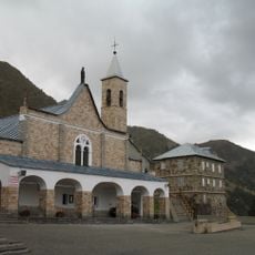
Shrine of St. Magnus
10.2 km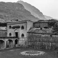
Forte Albertino
7.8 km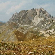
Rocca la Meja
7.4 km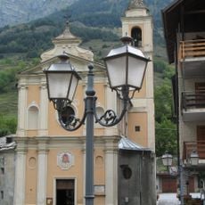
Santo Stefano Church
4.2 km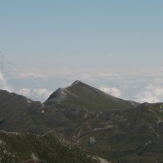
Monte Tibert
10.9 km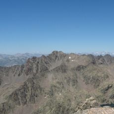
Monte Tenibres
10.5 km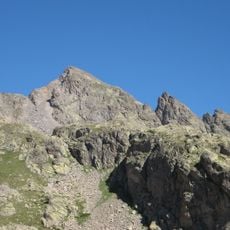
Corborant
10.2 km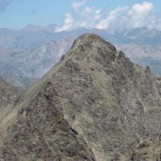
Becco Alto d'Ischiator
9.1 km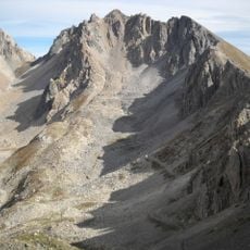
Monte Oserot
10.8 km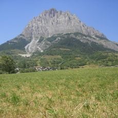
Monte Bersaio
2.2 km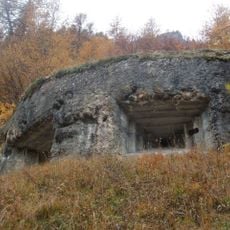
Fortificazioni ai Becchi Rossi
9.1 km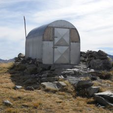
Bivacco Le Due Valli
12.4 km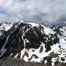
Mont Bal
12.5 km
Alpin Botanical Garden Valderia
11.8 km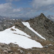
Cima delle Lose
13.3 km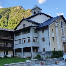
Terme di Vinadio
5 km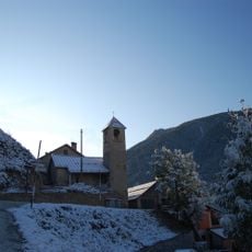
San Fabiano e San Sebastiano
4.1 km
Town hall of Castelmagno
13.3 km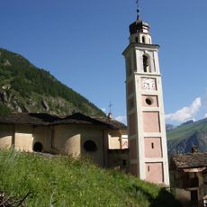
Sant'Anna
14.6 km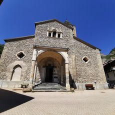
San Fiorenzo
7.7 km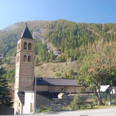
San Lorenzo
10.5 km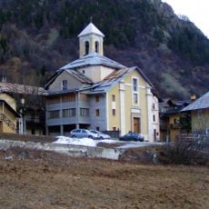
San Giovanni Battista
5 km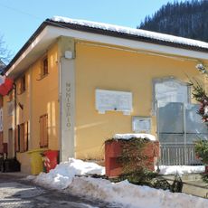
Town hall of Marmora
13.9 km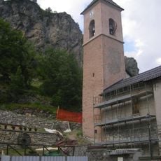
Chiesa dei Santi Pietro e Paolo
13.5 km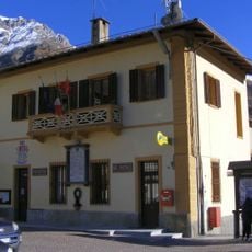
Town hall of Sambuco
721 m
Town hall of Aisone
11.2 km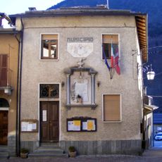
Town hall of Vinadio
7.8 kmVisited this place? Tap the stars to rate it and share your experience / photos with the community! Try now! You can cancel it anytime.
Discover hidden gems everywhere you go!
From secret cafés to breathtaking viewpoints, skip the crowded tourist spots and find places that match your style. Our app makes it easy with voice search, smart filtering, route optimization, and insider tips from travelers worldwide. Download now for the complete mobile experience.

A unique approach to discovering new places❞
— Le Figaro
All the places worth exploring❞
— France Info
A tailor-made excursion in just a few clicks❞
— 20 Minutes