Druento, Italian comune
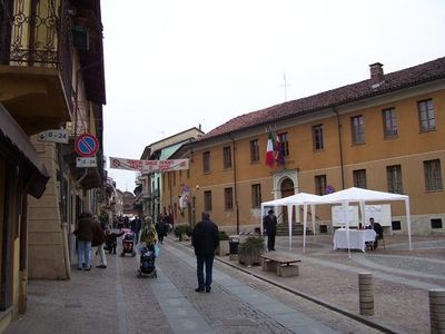
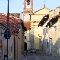
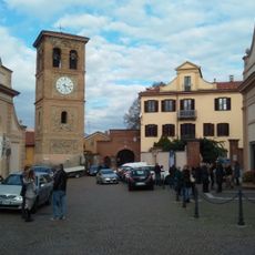
Druento is a small Italian commune in the Metropolitan City of Turin in Piedmont, situated on a gentle plain with hills beyond. The town has a traditional center with narrow streets, old stone houses, and simple architecture reflecting centuries-old traditions, while a stream called Ceronda flows through the area, enriching the surroundings.
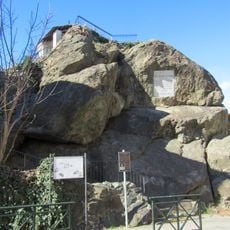
The place dates back to medieval times, with first mentions in 1196 in documents recording a monastery donation to a local lord named Enrico. In 1263, local leaders decided to establish a settlement beside the Ceronda stream and build a castle to provide protection and secure the area.
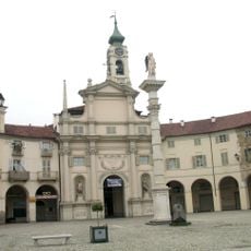
The name Druento comes from 'Druent', meaning 'very fertile', reflecting the rich soils of the area. The town preserves a rural identity visible in narrow streets, simple houses, and regular festivals held in the central square where neighbors gather for music, food, and celebrations.
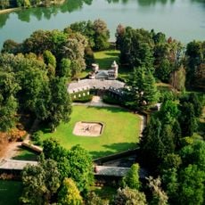
The location is easily reached by regular bus connections to Turin, enabling convenient day trips or a quiet stay with access to the larger city. Local shops, cafes, and green spaces like Bizzarrìa park are centrally located, making everything walkable and requiring no long distances to travel.
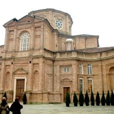
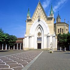
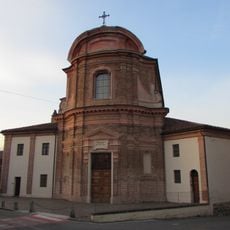
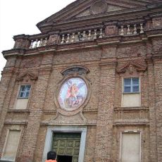
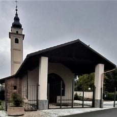
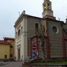
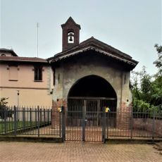
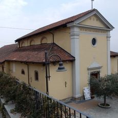
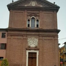
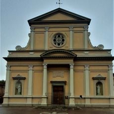
The Church of Santa Maria della Stella houses a statue of the Madonna with Child created in 1705 by artist Carlo Giuseppe Plura that still captivates visitors. Another hidden treasure is the Chiesa di san Giuliano di Brioude in the nearby park, featuring remarkable frescoes from the 15th century that visitors often overlook.
The community of curious travelers
AroundUs brings together thousands of curated places, local tips, and hidden gems, enriched daily by 60,000 contributors worldwide.