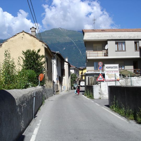
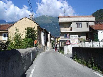
Mompantero, Italian comune
Location: Metropolitan City of Turin
Capital city: Mompantero
Elevation above the sea: 838 m
Shares border with: Bussoleno, Novalesa, Susa, Usseglio, Venaus, Giaglione
Website: http://comune.mompantero.to.it
GPS coordinates: 45.14204,7.06461
Latest update: March 13, 2025 21:20
Rocciamelone
6.9 km
Novalesa Abbey
6.1 km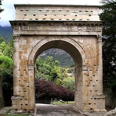
Arch of Augustus
1.8 km
Cathedral of St. Just
1.6 km
Fort of the Brunetta
1.4 km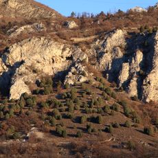
Riserva naturale dell'Orrido di Foresto
3.9 km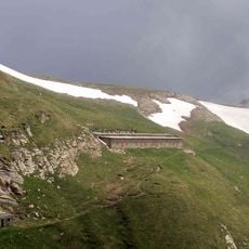
Colle Croce di Ferro
8.2 km
Porte de Savoie
1.7 km
Castello della Contessa Adelaide
1.8 km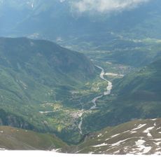
Cenischia
838 m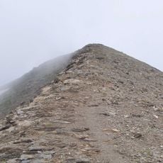
Monte Palon
6.9 km
Museo Convento di San Francesco
1.7 km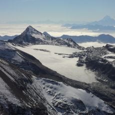
Glacier de Rochemelon
8.9 km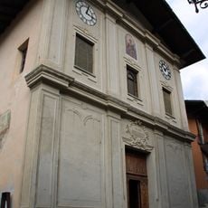
Saint Stephen church
6.5 km
Category:Museo diocesano d'arte sacra (Susa)
1.4 km
Abbaye Saint-Just de Suse
1.7 km
Torre delle Combe
2.1 km
Monta Molaras
2.7 km
San Biagio Church
4.4 km
Segusium amphitheatre
1.8 km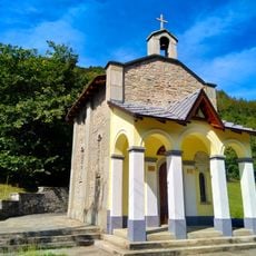
Madonna del Rocciamelone Chapel
6.7 km
San Saturnino church
1.9 km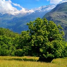
Castagno
3.9 km
Museo della resistenza e deportazione
584 m
Cappella della Madonna Addolorata
615 m
Casa de' Bartolomei
1.5 km
Town hall of Giaglione
4 km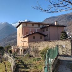
Casaforte di Menate
3.7 kmVisited this place? Tap the stars to rate it and share your experience / photos with the community! Try now! You can cancel it anytime.
Discover hidden gems everywhere you go!
From secret cafés to breathtaking viewpoints, skip the crowded tourist spots and find places that match your style. Our app makes it easy with voice search, smart filtering, route optimization, and insider tips from travelers worldwide. Download now for the complete mobile experience.

A unique approach to discovering new places❞
— Le Figaro
All the places worth exploring❞
— France Info
A tailor-made excursion in just a few clicks❞
— 20 Minutes
