Cenischia, Mountain creek between Savoie, France and Piedmont, Italy
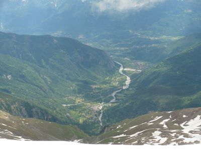
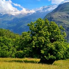
The Cenischia is a mountain creek that winds through steep alpine terrain between Savoy in France and Piedmont in Italy. The waterway originates at Col du Mont Cenis and flows through narrow mountain valleys before joining the Dora Riparia near Susa.
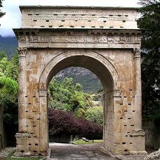
This waterway provided an early natural route through the Alps and became an important passage for people crossing the mountains. In the early 1800s, Napoleon Bonaparte built a military road along the creek to move his armies more quickly across the peaks.
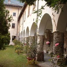
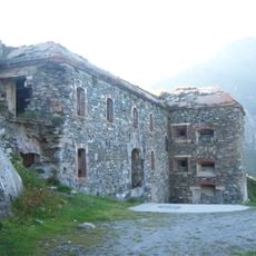
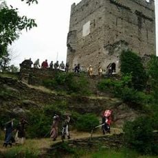
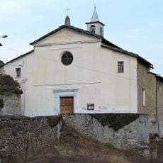
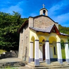
The valley shaped by this waterway contains ancient religious buildings, including an 8th-century abbey with its medieval chapels built into the mountainsides. These structures show how important this alpine passage was for pilgrims and travelers throughout the centuries.
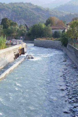
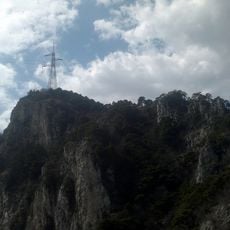
Visiting the valley is best done on foot, as steep slopes and narrow paths shape the terrain. A dam higher up collects water from mountain streams and can serve as a landmark when navigating the area.
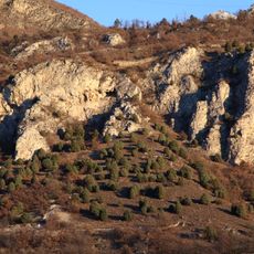
The creek forms a natural boundary line between two distinct alpine chains: the Graian Alps to the north and the Cottian Alps to the south. This geographical division makes the valley a special place where two different mountain landscapes meet.
The community of curious travelers
AroundUs brings together thousands of curated places, local tips, and hidden gems, enriched daily by 60,000 contributors worldwide.